
So several recces later we reach the start of the race – I did warn you this was complicated. It would also be our earliest start as we had a bit of a drive after to a hotel for some R&R after this recce, also an earlier train would take half an hour less to get from Hadfield to Edale which would obviously give us more time.
Anyway it all seemed to work out OK and the most important thing was that we arrived at Edale just after 8:30 in the morning in bright sunshine.

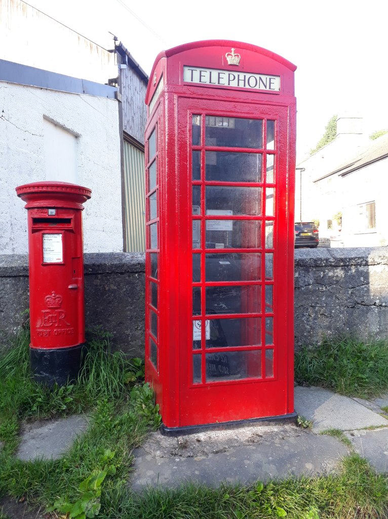
We started from the Village Hall, almost like the real race, although we decided we could risk not recceing the run across the car park. However I soon had to stop for my first photo. As many of you will know, I have a strange interest, almost an obsession, with phone boxes. I had heard that up until recently when Edale got mobile phone coverage, the Edale phone box was the most profitable in the UK. I have no idea if that is true or not but anyway it had to be photographed.
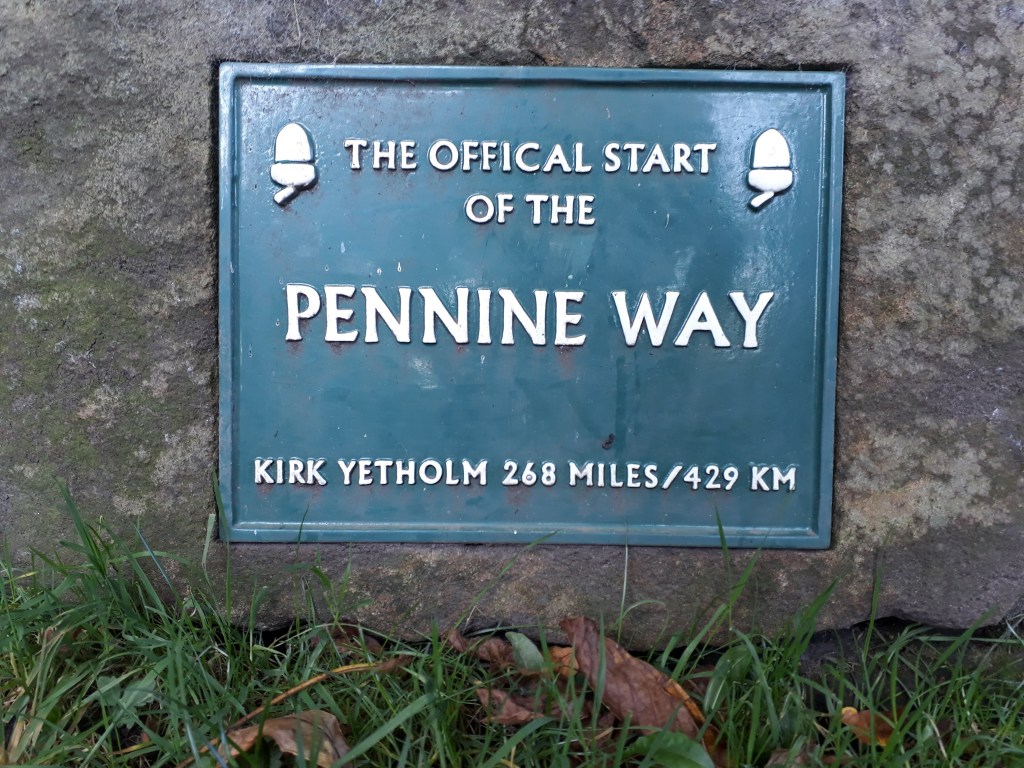
After about half a mile we reached the official start of the Pennine Way, opposite the Old Nag’s Head pub. There was a sign – it didn’t mention how much of the 268 miles is bog though.
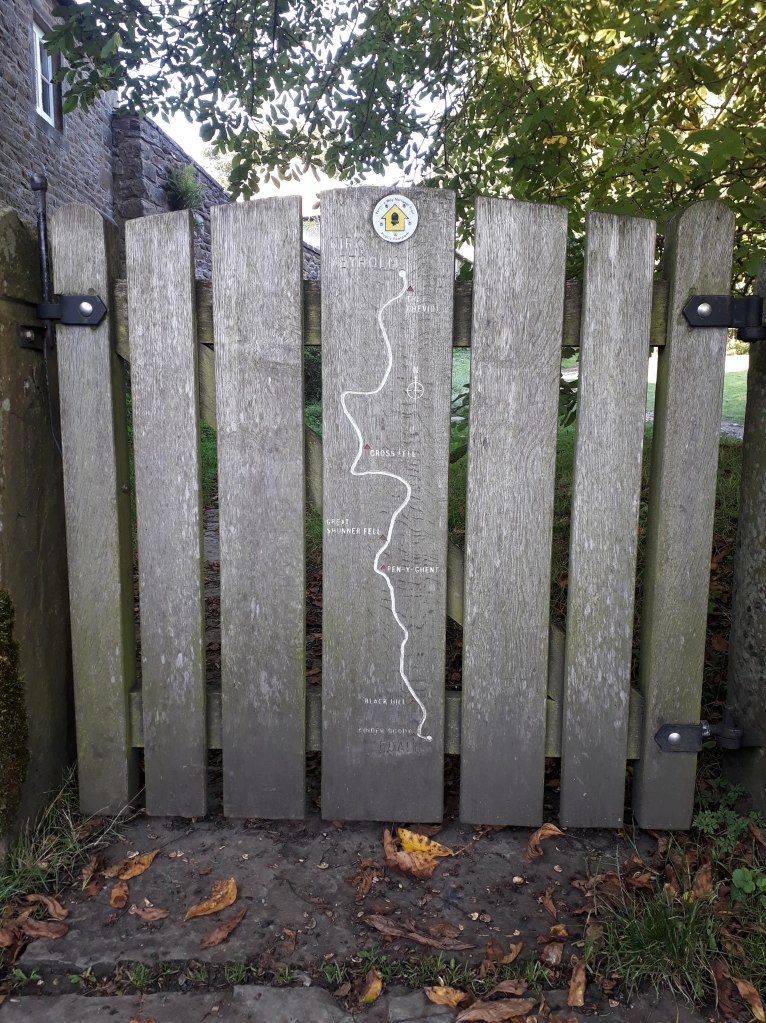
There was even a map. I’m not sure it would pass kit check but it seemed to cover the main points, go North, past some places. It doesn’t mention Blenkinsopp Common but then if you were trying to push the Pennine Way as a tourist attraction you wouldn’t either.
We went through the gate and started running through idyllic English countryside under blue skies.

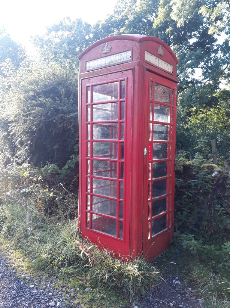
As we ran through Upper Booth, things got even better – another phone box! OK, I understand, no-one else is terribly interested in phone boxes so I’ll make that the last picture or reference in this blog entry. I still thought it was a great start to the day though.
As we left Nether Booth the track started gradually climbing until we reached the bottom of Jacobs Ladder and the start of the second biggest climb on the Pennine Way.
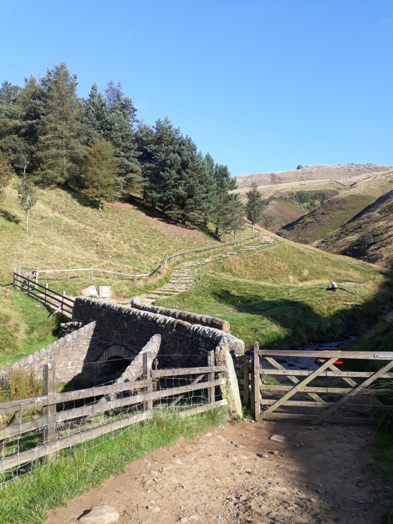
Jacob’s Ladder is reached by a very narrow and picturesque 17th Century stone packhorse bridge over the River Noe. The bridge is apparently a designated Grade II listed structure, located on what was once an important packhorse route over the Pennine moorland between Hayfield and Edale, used from medieval times into the 18th Century. At its narrowest point the parapet walls of the bridge are only 27 inches apart.
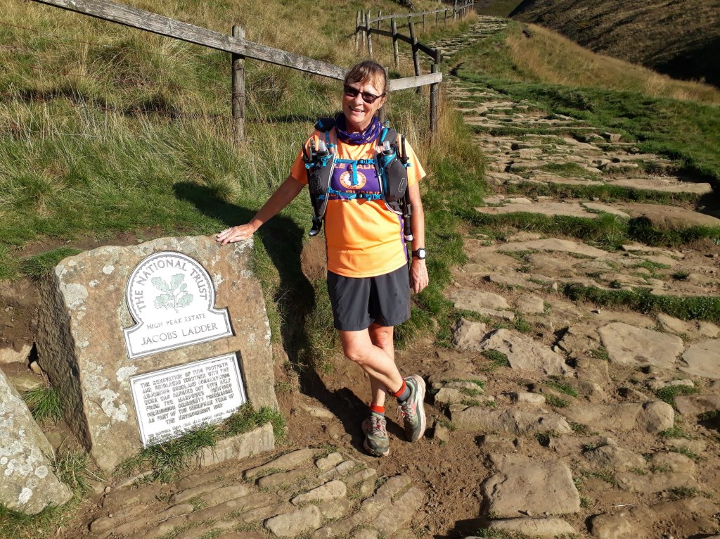

After the steps the climb continued until we reached Kinder Low. ‘Low’ is an old dialect word meaning hilltop and has nothing to do with the fact its 3 metres lower than Kinder Scout.

My memory of this section of the route was that once you’d reached Kinder Low it was a fairly straightforward jog along the top. This wasn’t strictly true and I really should have known that , given that this was heading to the area where I fell over and dislocated my finger!

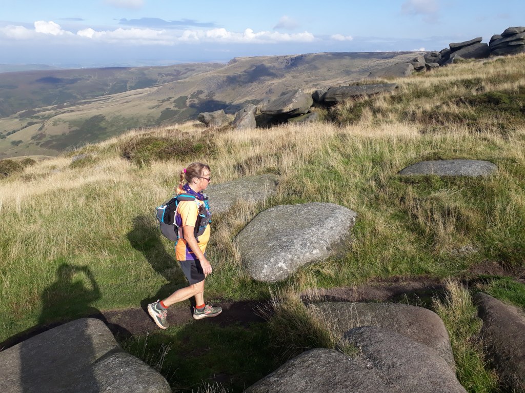
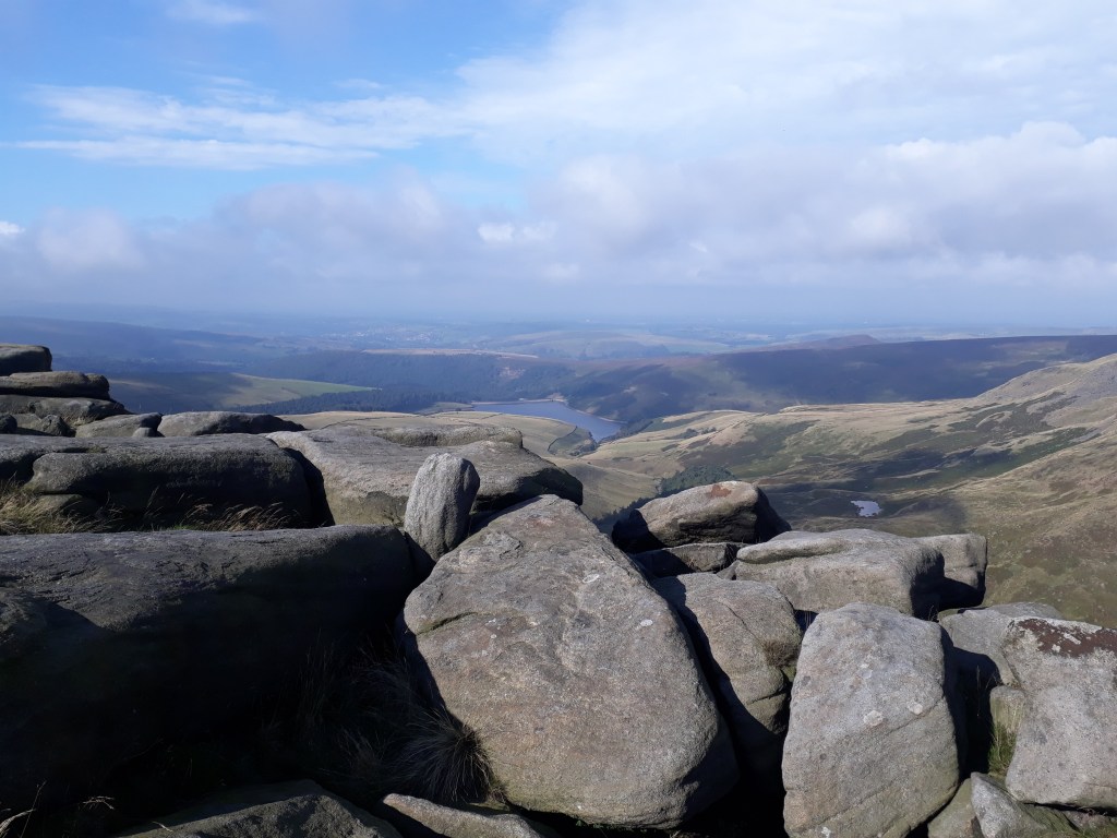
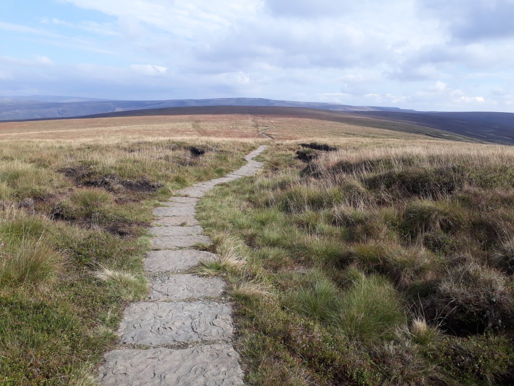
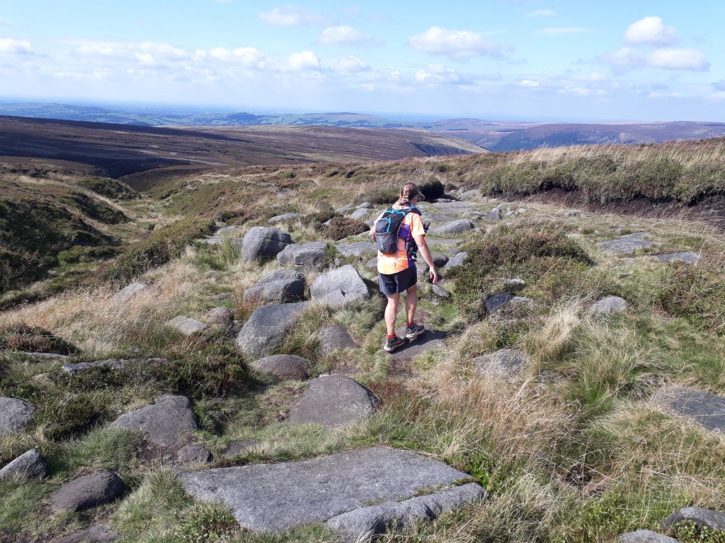
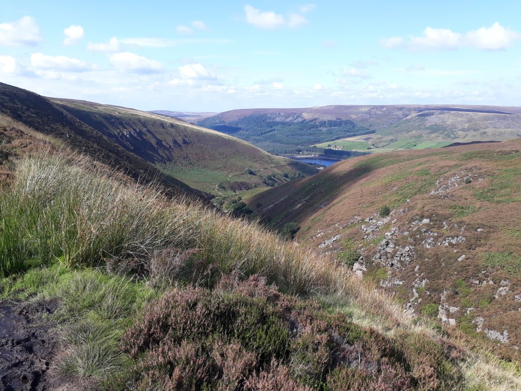
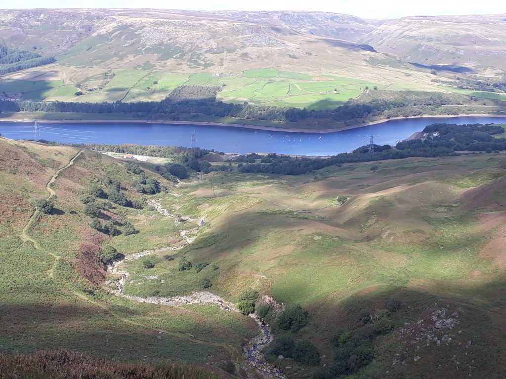
As we picked our way along the path I soon realised why I had fallen, it was a lot trickier than I remembered it. The path wove between numerous rocks and boulders. however it did provide us with great views down to Kinder Reservoir.
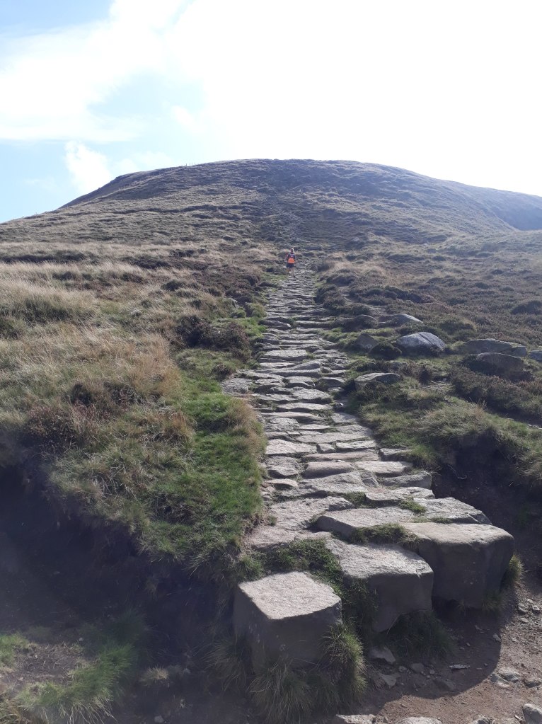
The path descended down an irregular line of not-quite-steps, not-quite-slabs.
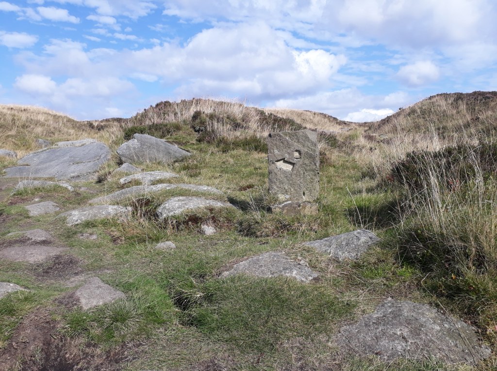
This brought us to what was by far the most challenging part of the day. In my opinion signposts on footpaths should stick to telling you which way the path goes and possibly what the next place of note it is and how far away it is. They should NOT tell you that the path perpendicular to the one you should be following will take you to a pub!
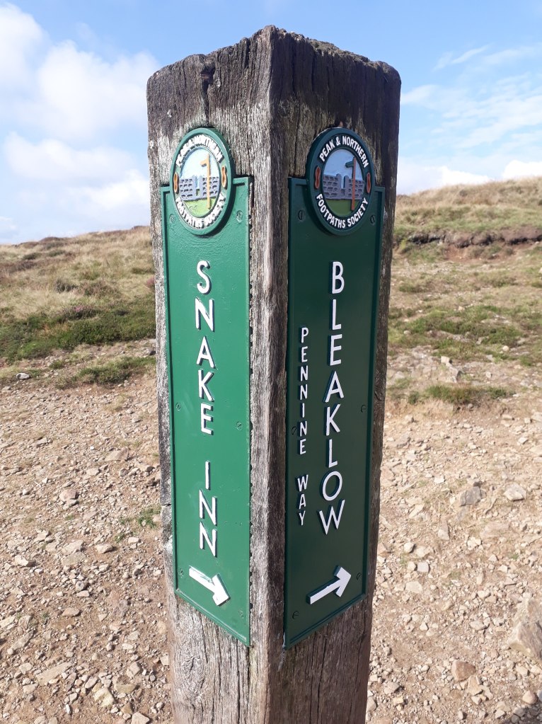
Had it not been a nice sunny day, the lure of a hostelry may have been more difficult to turn down, however we gritted our teeth and continued on to a seemingly endless slabbed path across Featherbed Moss.
The path was very easy to follow with only the occasional loose slab threatening to put you in a bog and, after stopping to chat to a very nice man with two very nice dogs, we arrived at the A57, Snake Pass. Fortunately the previously signposted Snake Inn was some miles away down the road so temptation didn’t have to be resisted again.
After crossing the A57 we followed the path along Devil’s Dike. This is not the same Devil’s Dike as the numerous other Devil’s Dikes that seem to be scattered across England but an entirely different Devil’s Dike. The path became more challenging as we followed it, going from boggy, to rocky, to boggy and rocky, followed by some more rockiness with a bit of bogginess thrown in because, well, this is the Pennine Way after all.
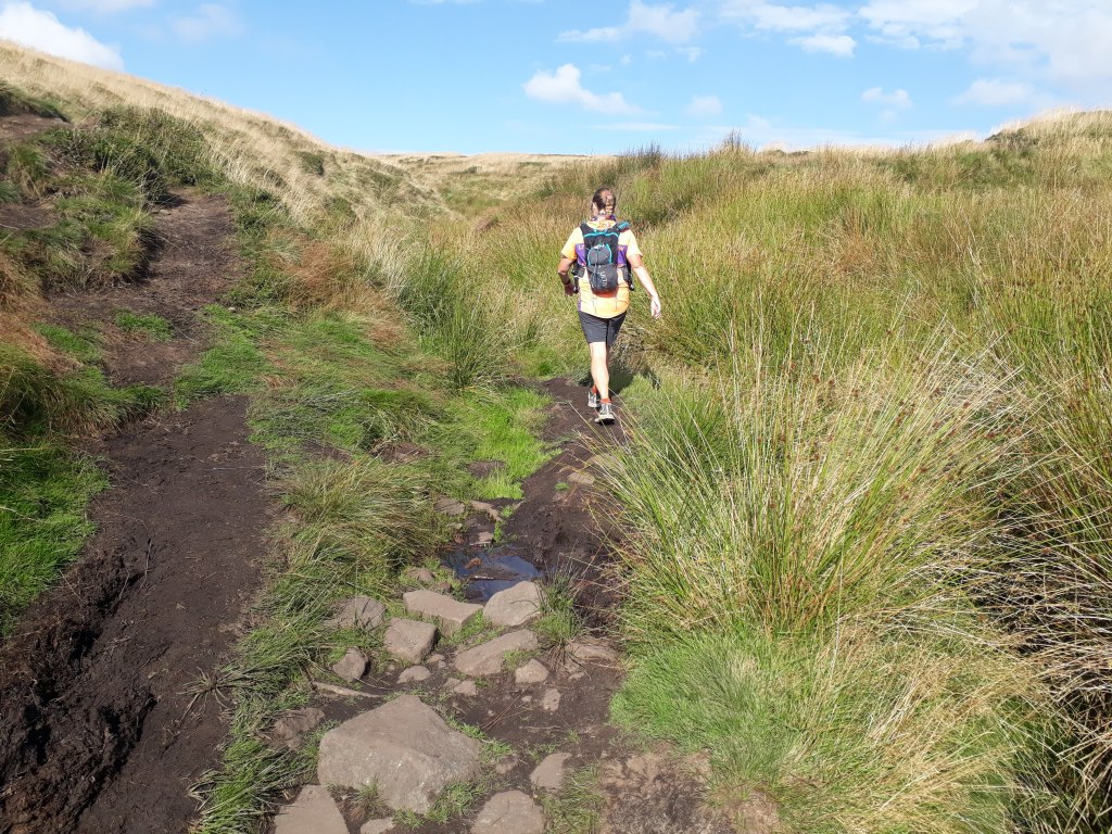
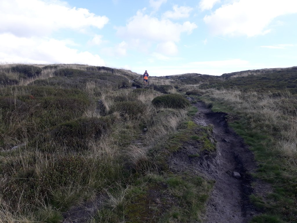
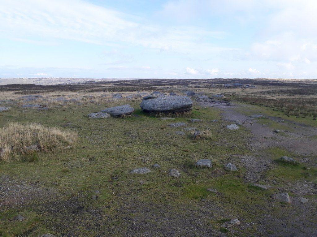
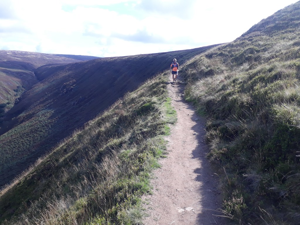
After reaching Bleaklow Head, the path started to descend and run through the heather (I think it was heather) along Torside Clough.
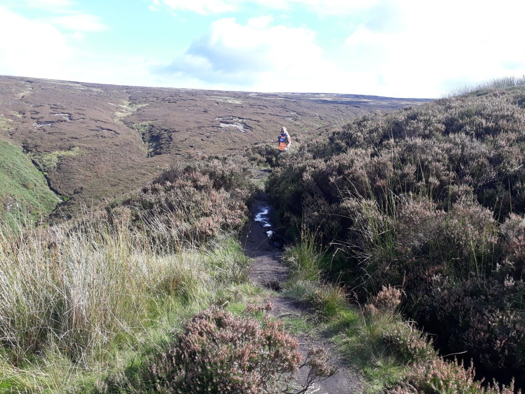
There were a few paths through the heather. In places one path was as good as any other but in others it was definitely best to be on the ‘official’ path. This was mainly at points where the path crossed water courses. The proper path had easy crossing points, the improper path crossing points were sufficiently not easy to make us turn back and find the right path.
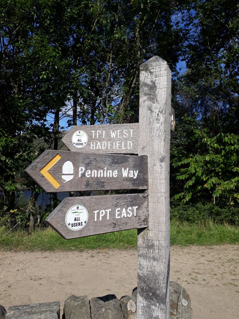
Our section of the Pennine Way finished with a sharp descent to the Trans-Pennine Trail, which crosses the Pennine Way near Torside reservoir. This was the end of our Pennine Way recce as we turned left along the Trans-Pennine Trail to Hadfield, back to the railway station and our car.
So that concludes our three day recce of the first leg of the Spine Race. What have I learned from it? Well, there was an awful lot of it I just didn’t remember. It was harder than my my memory allowed me to remember it to be. I think it has helped me enormously to see it all again and be more prepared for next year. Sharon decided she would wait a year to try the Spine Sprint so we could do it together.
Assuming all goes to plan my next blog post will be a race report! Next weekend I am off to the Cheviots to run round near the Pennine Way and get cold and wet and miserable. Why? Well I didn’t make it to the Cheviots on the Spine Race and I reckon if I can negotiate 55 miles around them mostly in the dark in December it should stand me in good stead when I reach them next June!
