
I do have a bit of a reputation for repeating races but, even by my standards, I’ve done a lot of Great North Runs, twenty-two now. It was the first ever ‘proper’ event I entered in 1998. I missed ’99 but have done everyone since.
This year was slightly different in that we were driving up rather than taking the train and we had much additional running planned. York parkrun was first on the list, an incredibly fast course with some incredibly fast runners, Jonathan Brownlee is only the second fastest ever and no, his brother isn’t the fastest. Anyway it was friendly, well organised, I managed 25th place in exactly 20 minutes and hopefully persuaded one of the volunteers (Linda) to take up ultra running. Not a bad mornings work!
I know the changes to the Great North Run for this year weren’t to everyones liking but I thought the event was really good. The ‘out and back’ course was a little more challenging but still had good support and for the first time ever I got to see the elite athletes running. The race village had a good atmosphere – although it was strange to finish and then chat to people that hadn’t started! Anyway I had a decent run and exceeded the targets I had set myself, finishing in 1 hour 33 minutes and 9 seconds officially.
We had decided to visit Sharon’s Dad after the run as Newcastle is nearer Glasgow than Chelmsford. The route would take us very near to Hadrian’s Wall and would cross the Pennine Way – very near to my least favourite place on Earth, Blenkinsopp Common. Sharon had no desire to visit Blenkinsopp Common. However she hadn’t ever seen Hadrian’s Wall either so we had come up with a plan where she would visit the wall and I would visit a bog.
My starting point was on the A689 near Lambley. Sharon wisely dropped me off and drove away before she became embroiled in anything bog-like. Although I had almost developed a ‘Blenkinsopp Twitch’ in response to any mention of the area, I was very keen to revisit it as I made a number of bad decisions between this point and Hadrian’s Wall. I made a lot of bad decisions throughout the race but whilst this was only around 25 miles from my final demise, I thought I was OK at this point. The Angels of CP4 and Slaggyford had allowed me to get this far in not terrible condition and I wasn’t hallucinating despite it being dark.
The first ‘error’ I thought I needed to investigate was a slightly deliberate act on my part. The Pennine Way follows the route of a Roman road between Hartleyburn Common (South Side) and Lambley Common. Shortly before it reaches the A689 crossing point the Pennine Way diverts left across Hartleyburn Common to the road crossing point. I had continued straight on to the road as it was a clear path and also a public right of way. So the plan was to run back up the straight bit to the point where the Pennine Way turned off and come back on the correct path. I had forgotten I was going downhill to the road on the race…
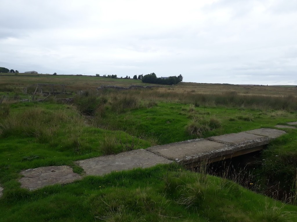
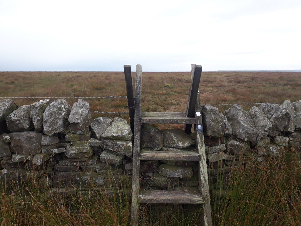
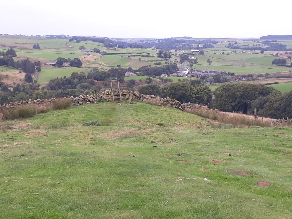
Having finally got back to more or less where I started and crossed the A689, it was a very short distance to my first major ‘bad decision’. I had to cross the Black Burn. In my defence it was dark and what I saw was a less well lit version of this:

Of course Britain’s oldest national trail would go through a barbed wire fence and over a derelict bridge – was what I obviously thought on the night of the race. This time, it being light and me being a bit more with it, I looked around a bit more…
So if I was being very kind to myself I could argue that the actual bridge is entirely level with the ground and so not so visible in the dark. However the reality is I wanted a bridge, I saw a bridge, and so I crossed a bridge. Had I been in a better mental state I would have looked for another bridge or checked my GPS more carefully or basically done anything apart from climb through barbed wire, cross a rickety bridge and then later climb a dry stone to wall to get back on my path.
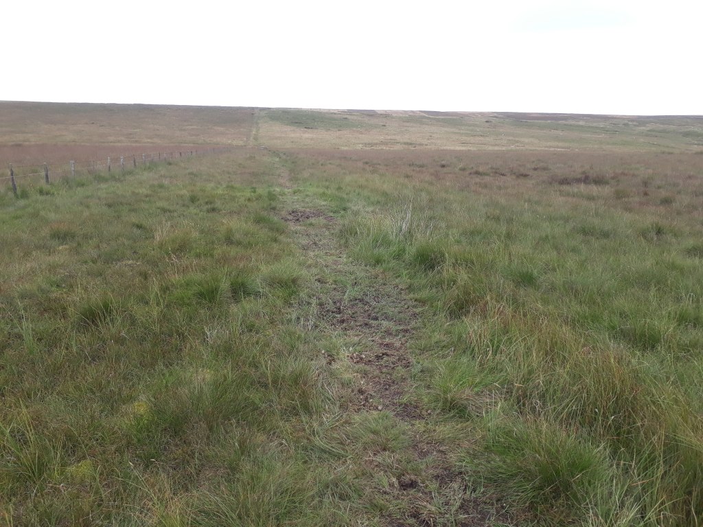
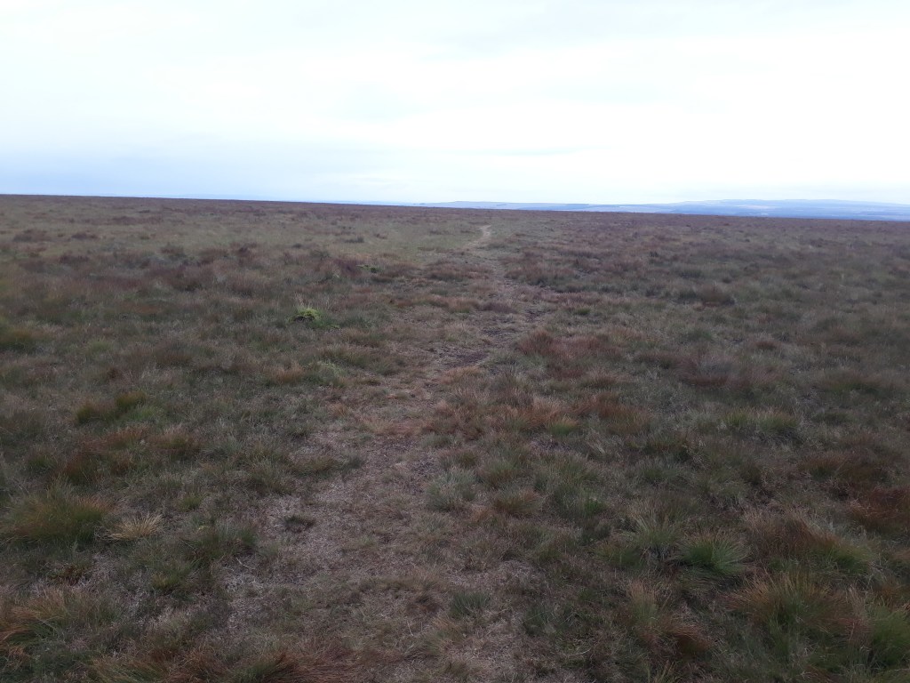
The thing about path markers is just that – they mark the path, the don’t mark ‘not the path’. As a result following the path is straightforward until it isn’t. fortunately it was light and I was reasonably alert (really) and so I didn’t have any real problems. This might be High House according to the OS map, I investigated it as potential shelter should I require it next year. It didn’t have a roof but would be a good wind break.

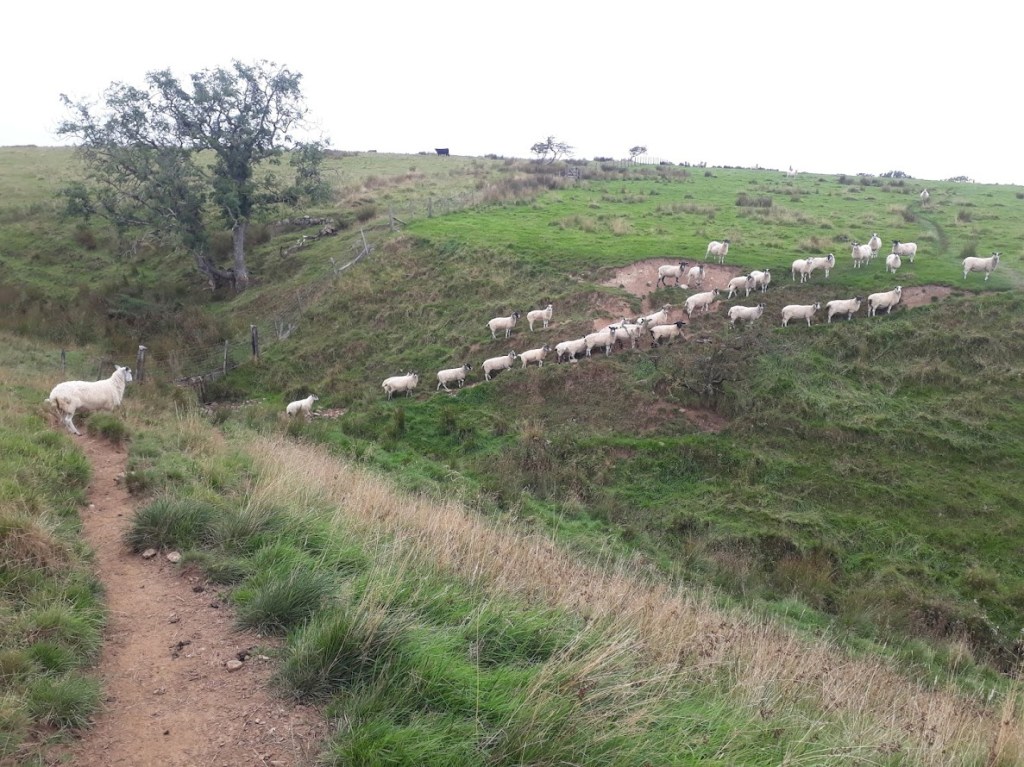
I was having no problem following the path, although I did have some issues with high levels of ‘commuter traffic’…
I recognised the buildings at Batey Shield and didn’t walk round in a large circle this time, although I did upset a small and very noisy dog.
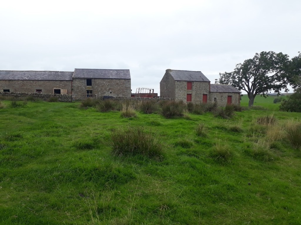
After I crossed the road and entered Greenriggs, I met its resident, Stu. I remembered when I came through before it looked like there had been a barbeque and I learned I was right, had I been earlier Stu would have given me a burger. As it was we had a nice a chat and he promised to look out for me next summer and make good on the burger front.
All this lack of drama on the route finding front did mean that the boggy horrors of Blenkinsopp Common were getting ever nearer. Hartleyburn Common (North Side) was soft but not very boggy and was traversed with relatively dry feet with some careful observation and avoidance of the odd lurking bog.
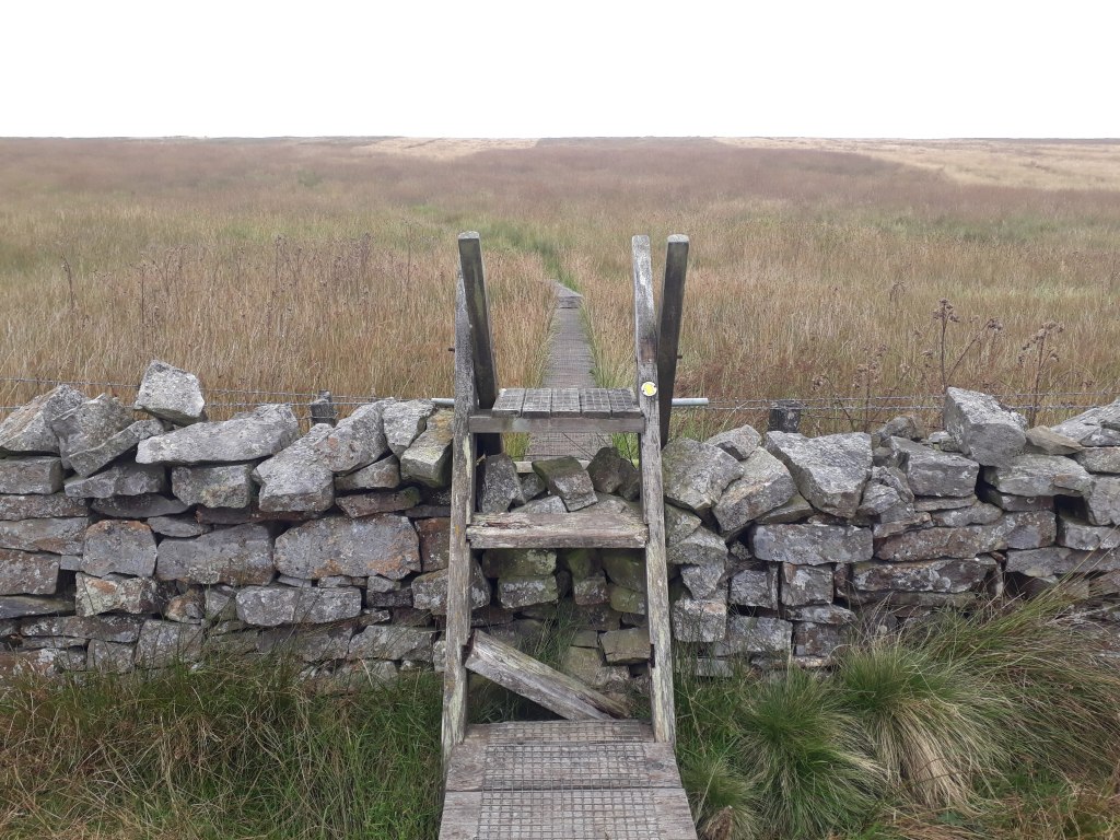
Assuming I knew where Blenkinsopp common started, it seemed quite benign and even had a wooden walkway to save me from the bog. However the path became less obvious and, whilst I had no real problem following it, I began to understand why I had found it so challenging before.
Blenkinsopp Common has grouse butts according to the OS map. Whilst it wasn’t quite a terrible as I remembered, I did still wonder if any grouse had to be hunted or if they just gave themselves up and begged to be put out of their misery.
I soon reached the wall across the common and the scene of one of my other ‘bad decisions’ – this was not a sensible place to change my socks.
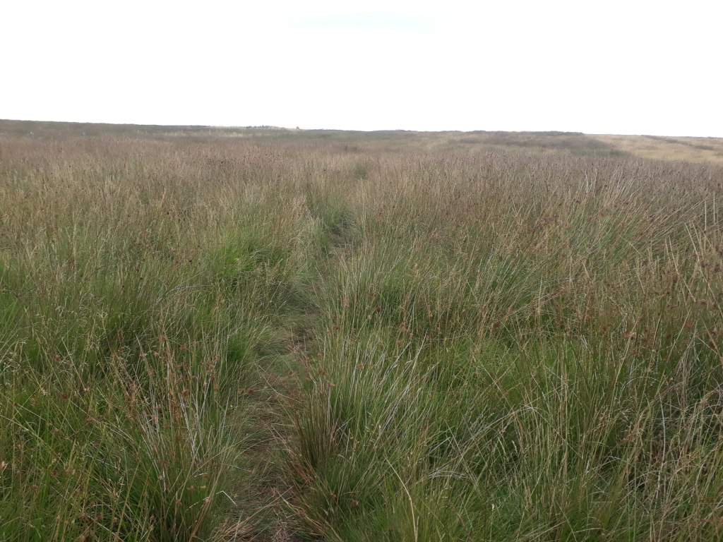
So far I had avoided anything really boggy but I could tell that the section after the stile felt very spongy underfoot and had the potential to be the boggiest bog so far, which made the sock changing idea even more of a bad one. The path was very faint and not hugely necessary as the vegetation was quite low growing. I struggled quite badly with navigation across this section before, next time I will be more inclined to just head off in the right direction rather than obsess over finding a barely there path.
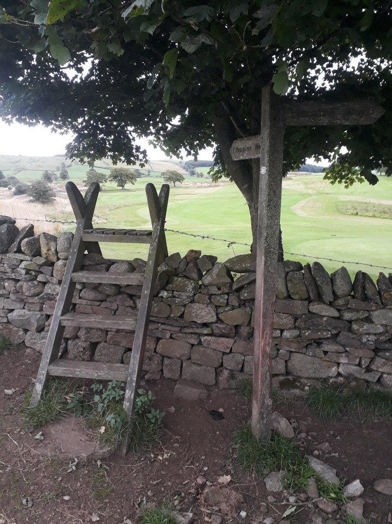
After Blenkinsopp Common the route was easy to follow if a little tedious. The only excitement was having to cross the A69, which was helpfully three lanes at the crossing point. Then it was downhill alongside the golf course until the next stile and the scene of yet another bad decision – does this look like a comfortable place to try and sleep?
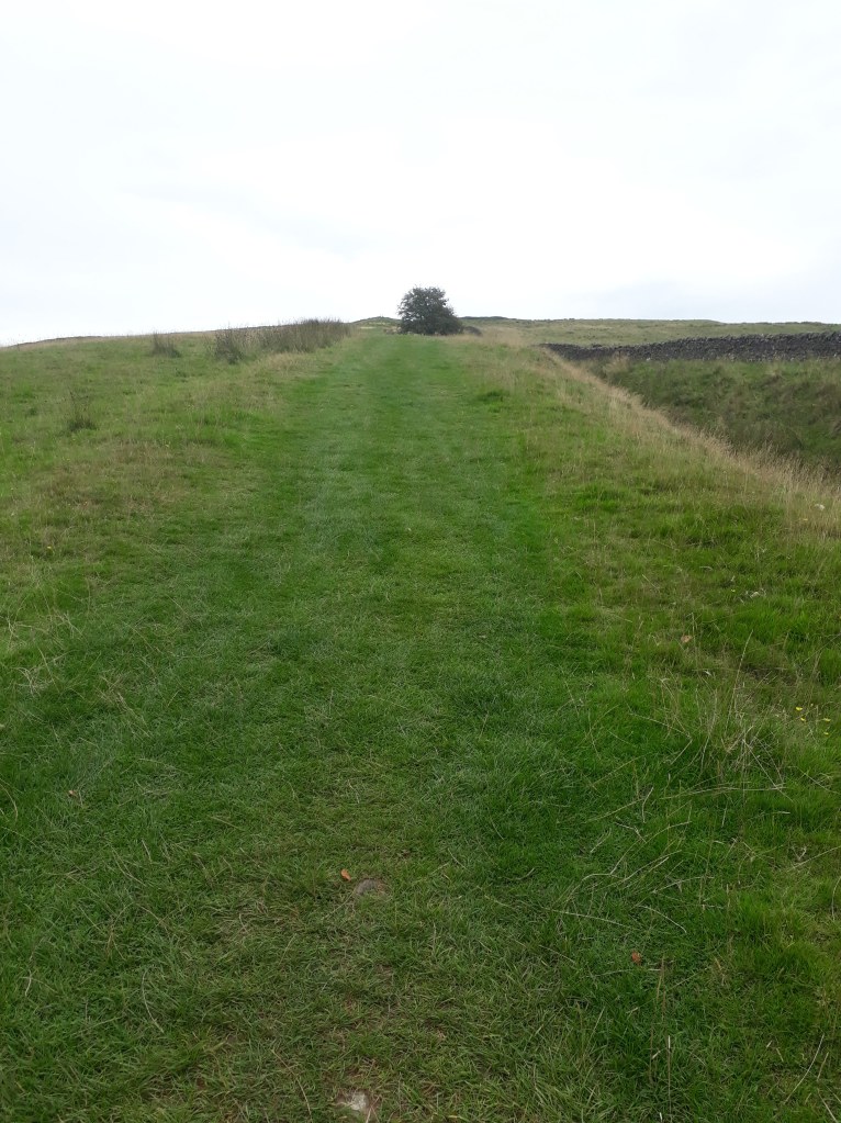
The path across the golf course was at least as vague and overgrown as last time but I soon passed Thirwell Castle and found myself at the bottom of a very big slope I had completely forgotten about.
I arrived at the car park I was to meet Sharon at and… no car! Fortunately she called before my imagination went too wild and it turned out there were two ‘quarry’ car parks – she was at one three miles away. I didn’t really fancy another three miles at this point and happily agreed with her suggestion she came and got me.
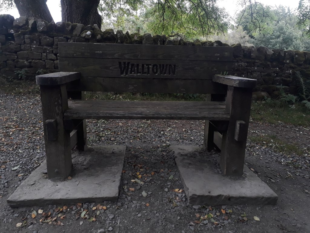
My recce finished at Walltown, which was where a member of the Spine Safety Team first met me and suggested I might like to quit. At the time I was disappointed at what I perceived to be a lack of support or encouragement. However I now realise I was so ‘out of it’ that it was clear to the safety teams I wouldn’t make it and so they simply wanted to stop me damaging myself further. Although I did damage myself and to a certain extent possibly even endangered myself, I don’t regret carrying on. I have some hazy knowledge of virtually all the route bar the last stage which gives me a foundation to build on for next year’s attempt.
Another 7.5 miles recced and a very important 7.5 miles in terms of my understanding of where I went wrong and what was happening to me towards the end of my race. There is still much to do, however I have spent three days recceing the whole of the first leg, which will inevitably lead to three more blog posts I guess. It really does seem that the only way – for me – is Pennine!

Might be a daft question Colin, but did you take a compass with you to help crossing the bog?
LikeLiked by 1 person
A compass is mandatory kit but I was using my GPS. The issue I had first time I think was being too obsessed with finding an exact path as shown on the GPS rather than just using it effectively as a compass to get me heading in the right direction.
LikeLiked by 1 person