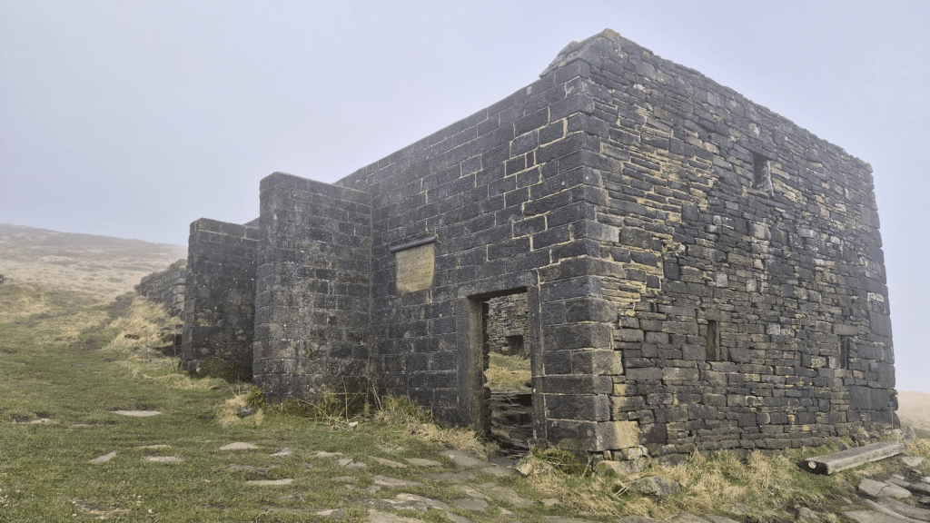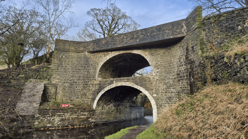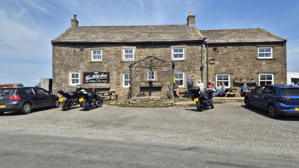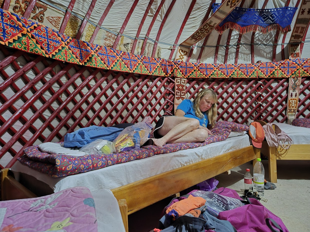
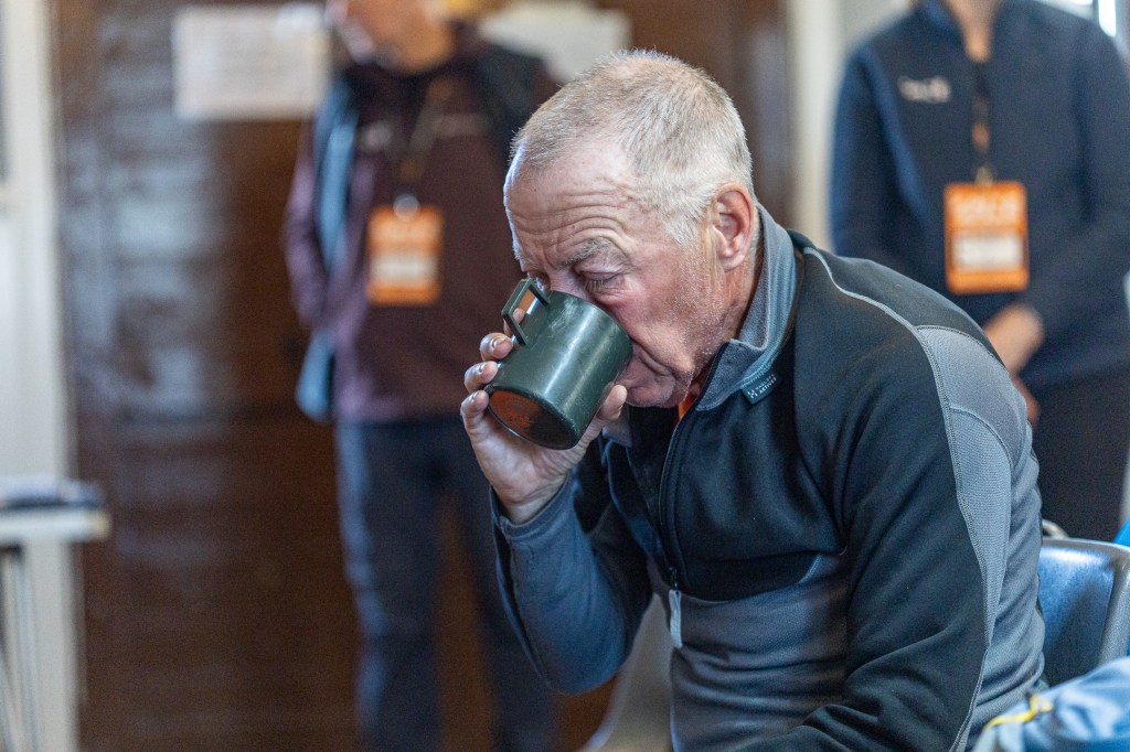
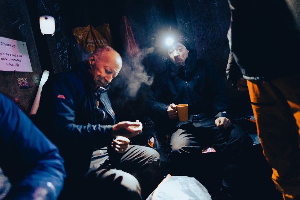
he Bellingham Checkpoint is an interesting one. It is the only one which doesn’t have beds, and it is usually extremely cold as, I believe, the building the race uses is technically shut down for the winter and hence unheated. However in order to mitigate this tents and air mattresses had been set up in the sleeping hall. To me it also feels different to the other checkpoints in that it seems that there is a sense that this is it, once you leave here the next stop is (hopefully) Kirk Yetholm. Some of that might be because, by now, everyone is a bit more spaced out (in so many ways) and so there is maybe more time for the volunteers to look after everyone. Certainly Mick, Gwen and others who’s names I don’t know/remember looked after me extremely well.
I wasn’t in any great hurry to get from Bellingham to Kirk Yetholm just yet. The plan was to arrive at Kirk Yetholm at a ‘sensible’ time on Saturday, i.e. not too early in the morning, so that Sharon could have a decent nights sleep and so that I would be back on some sort of ‘normal’ schedule ASAP – although I knew that I would be spending most of the first couple of days after the race asleep, regardless of when I finished.
I was allocated a bed in a tent, wrapped myself up very warm, and settled down. I woke up a couple of hours later extremely hot. Someone else had been allocated the other bed in the tent and had arrived without disturbing me in any way whatsoever. However two people in the tent did increase the temperature somewhat and I had wrapped myself up VERY warmly. I decided I may as well get up. By this time I was looking incredibly tired but then, as previous episodes of this blog have revealed, my sleep strategy didn’t really happen as planned on this event.
My bleary self staggered out of the sleeping area and sat down in the main room. Gwen immediately came over to see if I needed anything. I told her I thought I was now functioning on the level of a three and a half year old. ‘Oh, so you are just about able to be reasoned with then?’ was her reply, which was probably about where I was at this point.
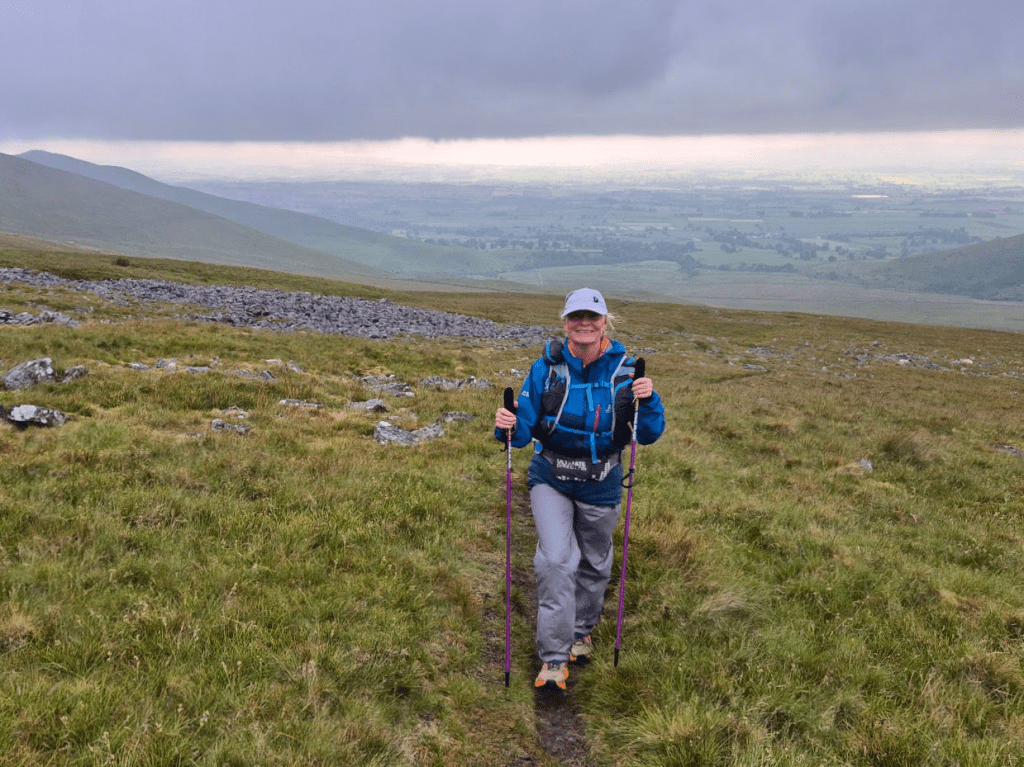
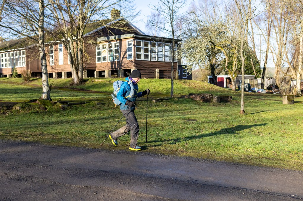
I wasn’t in any great hurry to leave the checkpoint. I was several hours behind where I had been on my previous Winter Spine attempt, which had finished just before midnight on Friday. I didn’t really want to finish in the early hours of Saturday morning as that would mean that if Sharon was to pick me up form Kirk Yetholm (and I hoped she would) then she would miss a nights sleep on Friday, which wouldn’t be great as she was driving us home on Sunday. As result I left Bellingham at 1pm, almost seven hours later than in 2024. Had I really thought about it I would have realised that, as every other leg had taken significantly longer than 2024, the las leg was also liable to take longer, and I would have left a bit earlier but see previous comment about my ‘functional age’. I had also changed shoes. I had a pair of Inov8 Trail Talon Ultras in my bag, similar to what I used on the Challenger North. They had deeper studs (6mm as opposed to 4.5mm) and were clean so it seemed silly not to use them.
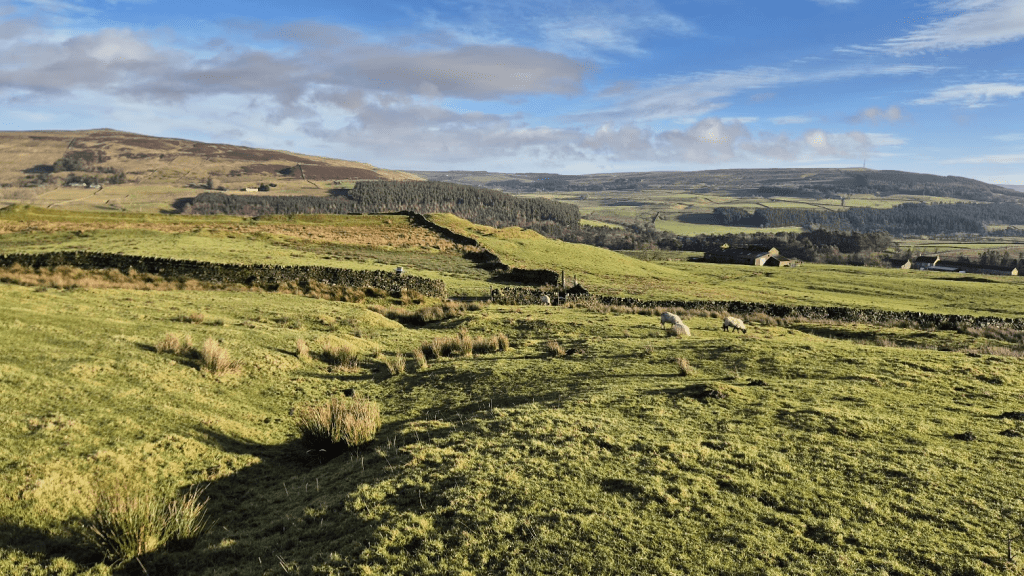
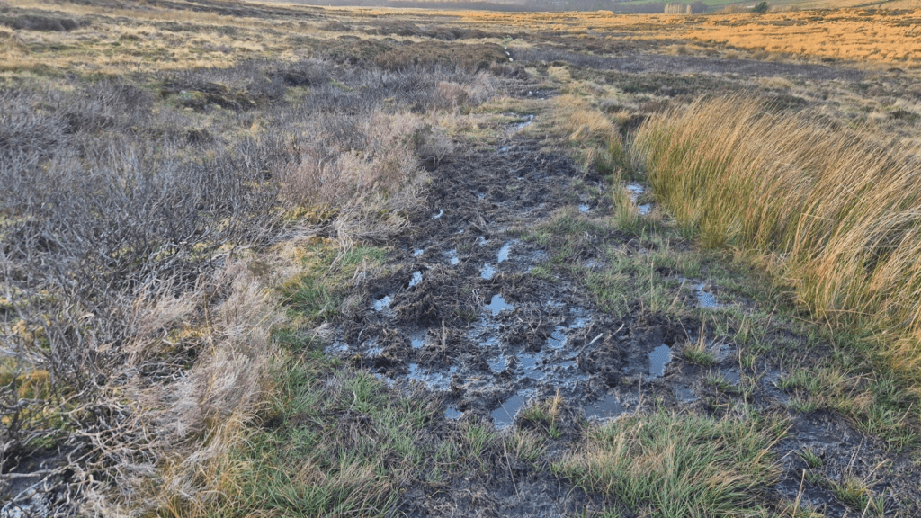
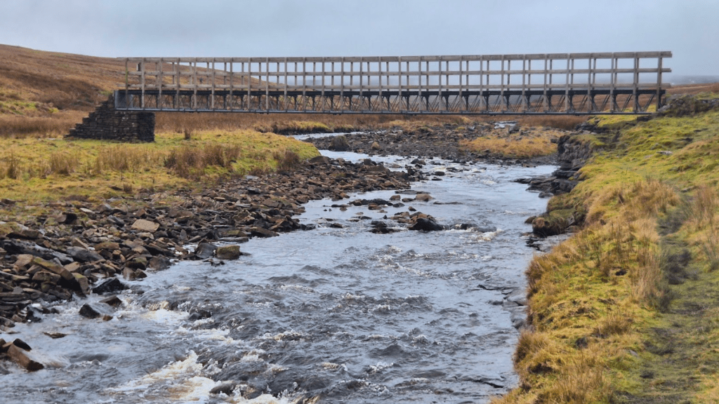
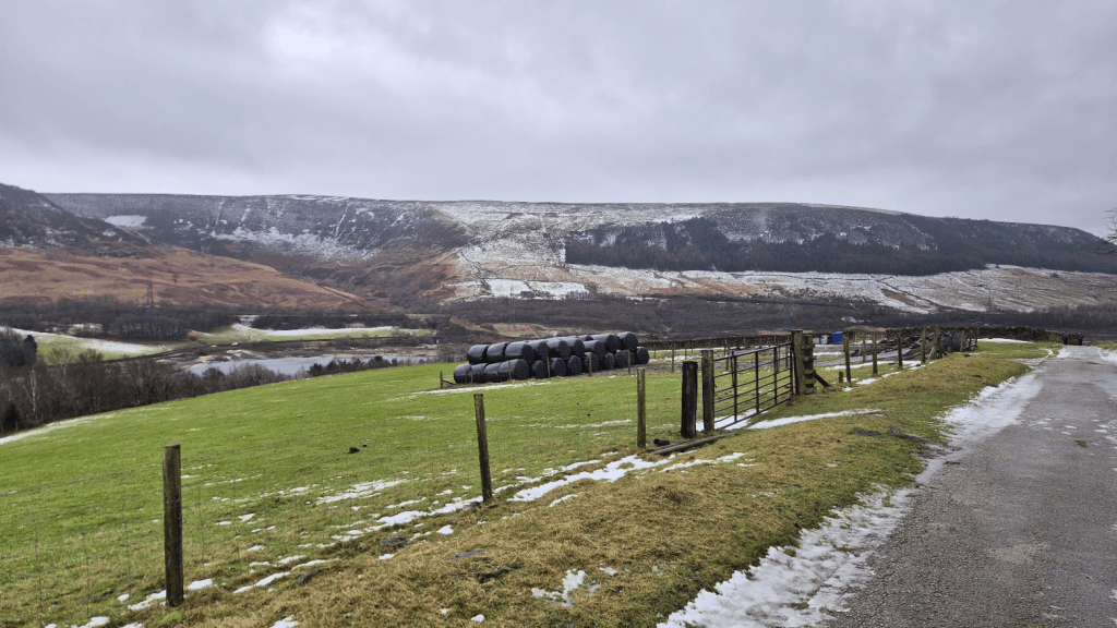
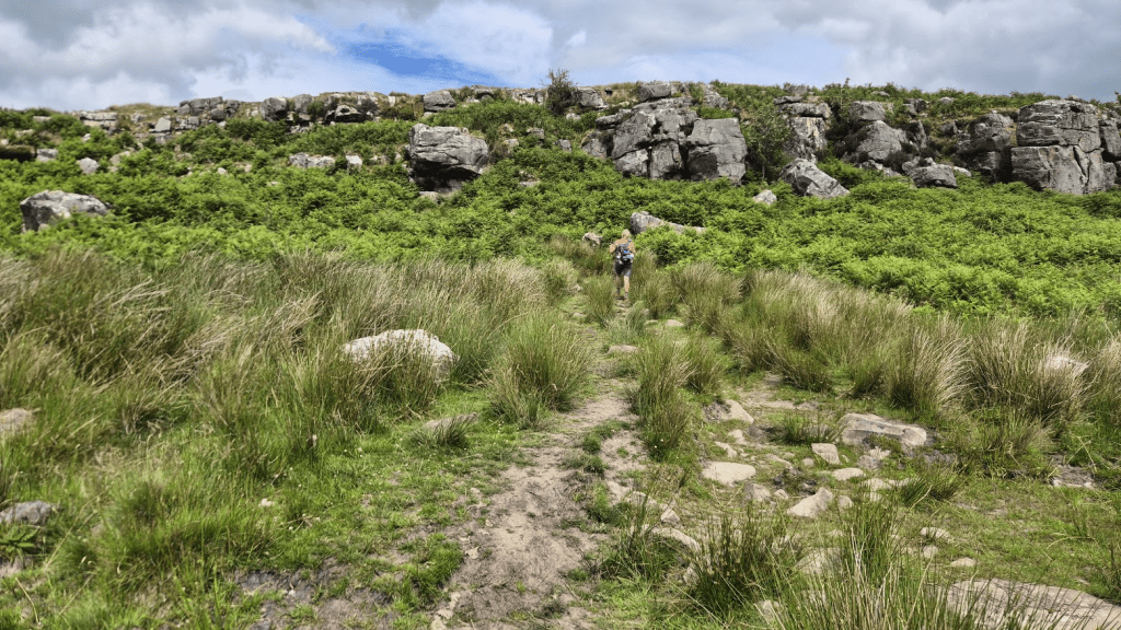
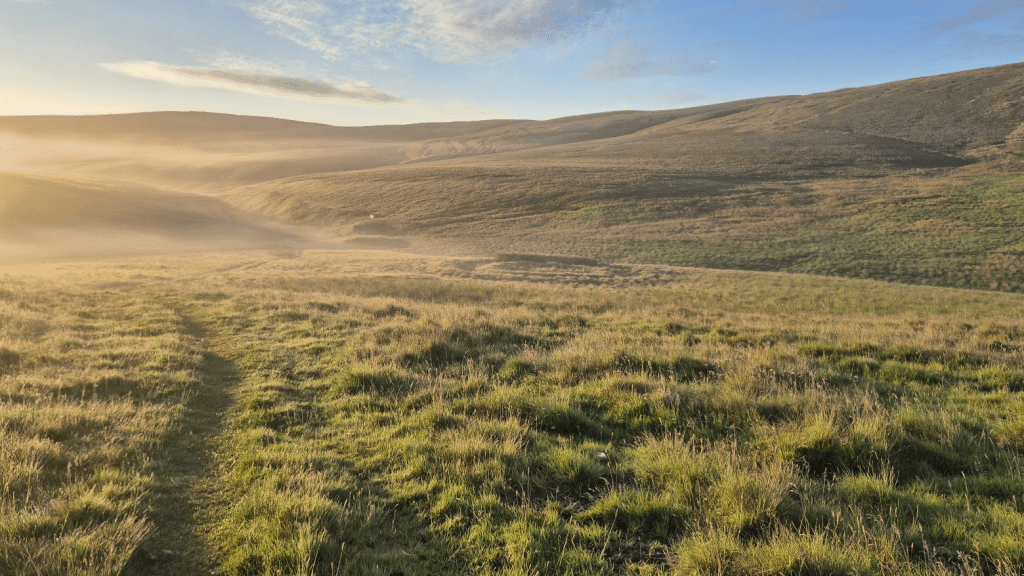
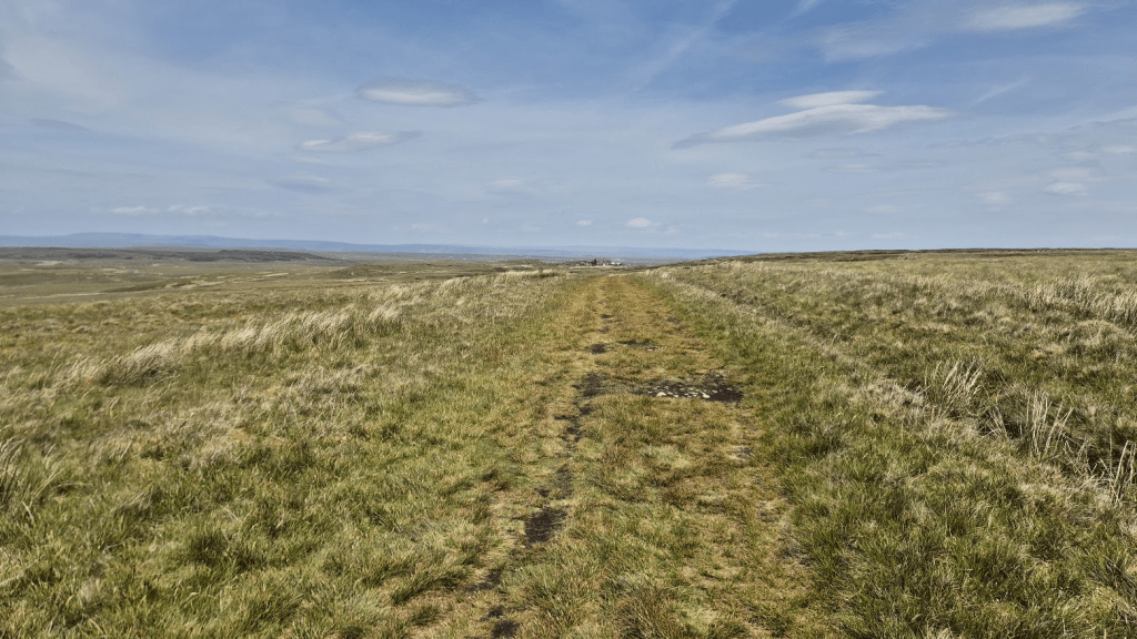
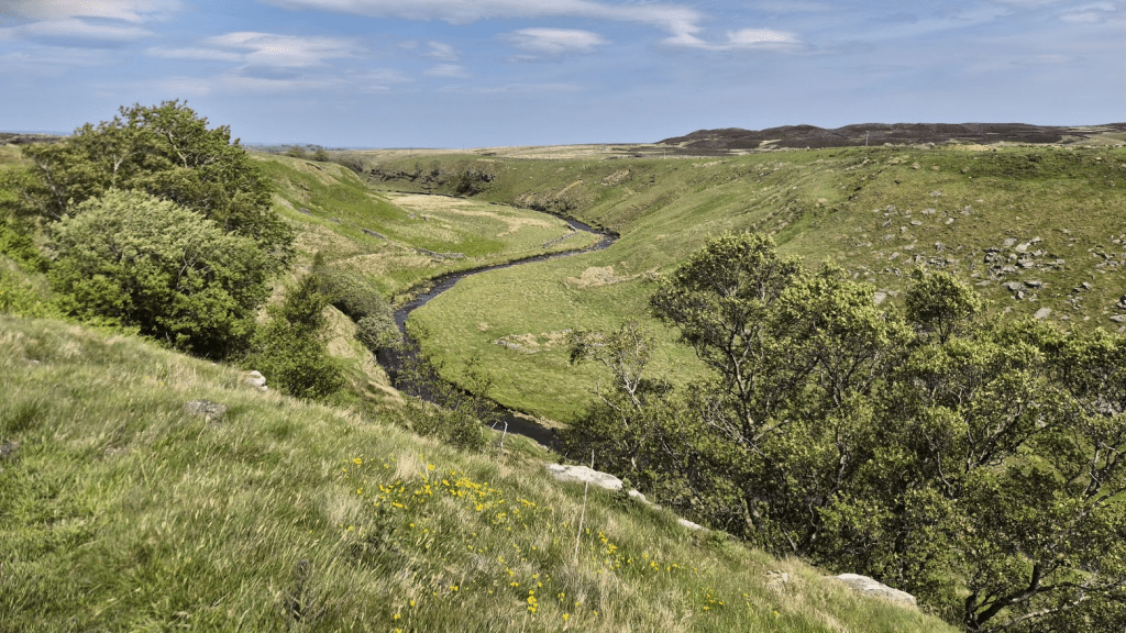
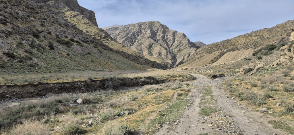
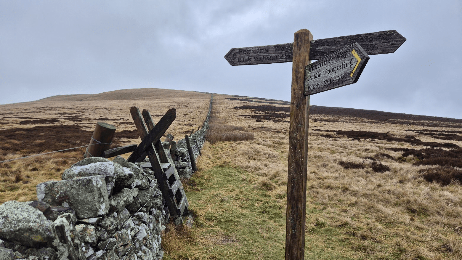
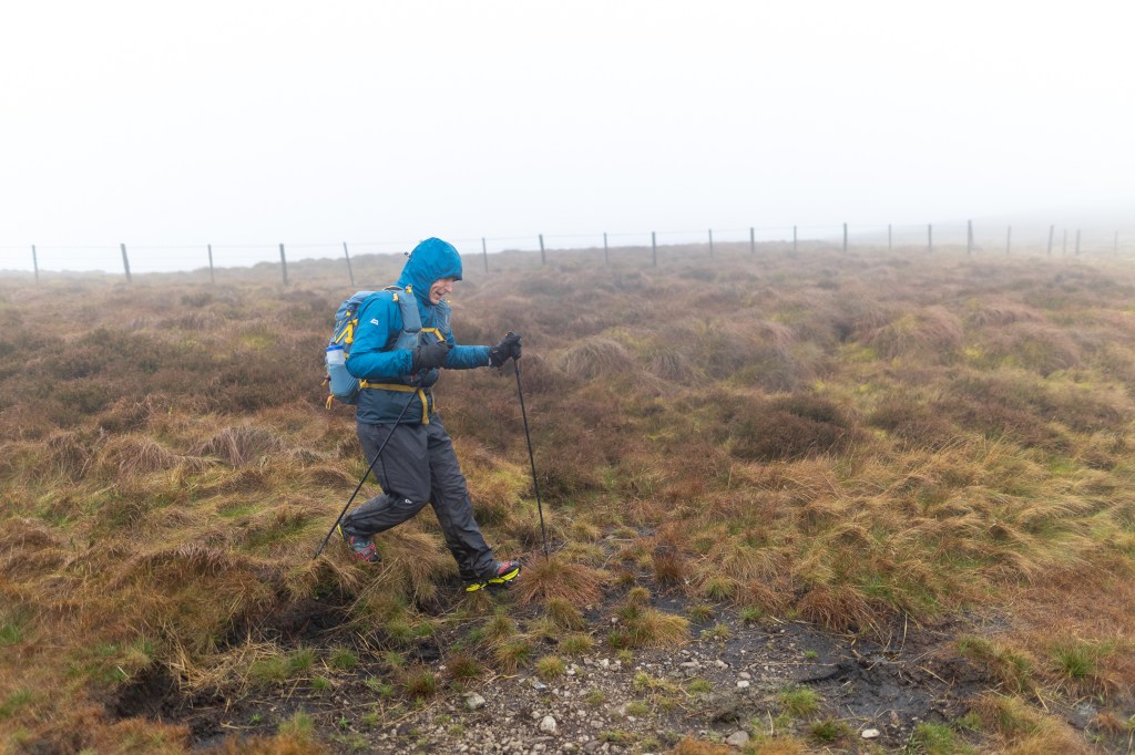
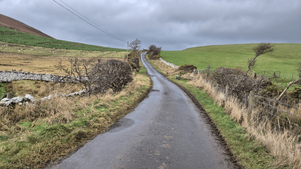
I have been known to take one or two slightly varied routes through Bellingham in the past but this time I was spot on the Pennine Way until I eventually reached the turn off the road onto a farm road to the farm at Blakelaw. From there the route crosses a few fields back onto some moorland. I’m not sure if this was less boggy or if I was just so used to bog by now my threshold for what constituted ‘boggy’ was much higher, but anyway, I don’t remember it being to awful.
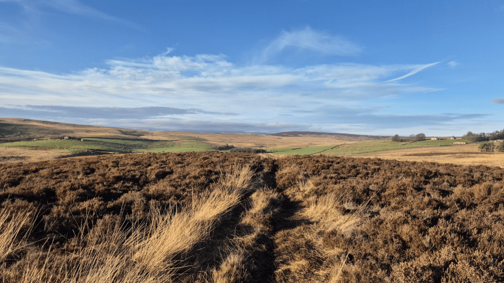
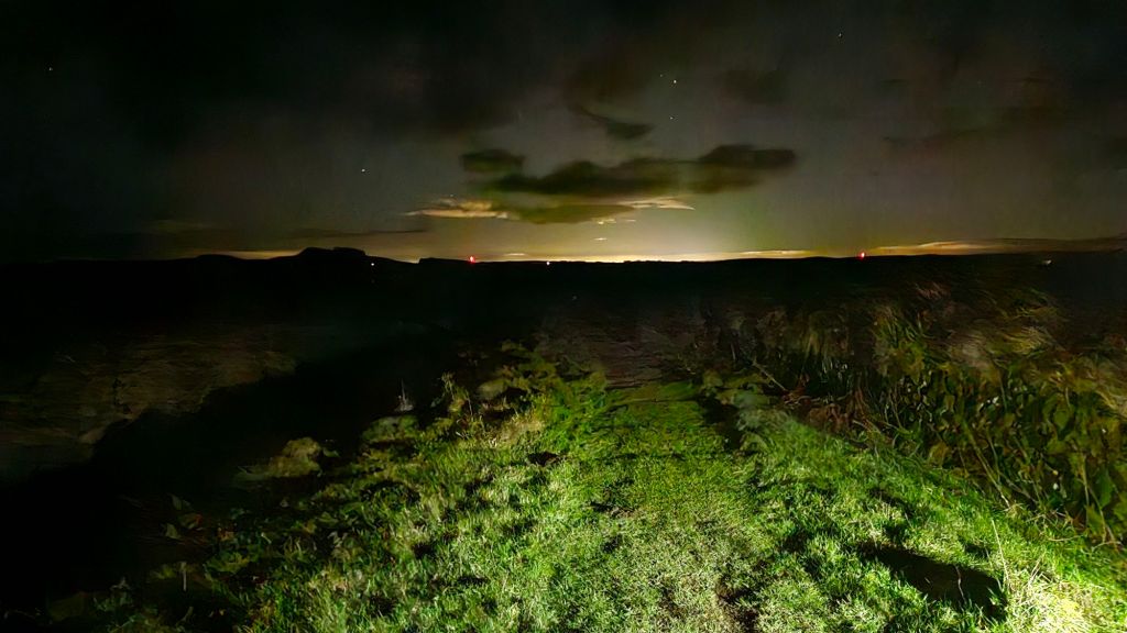
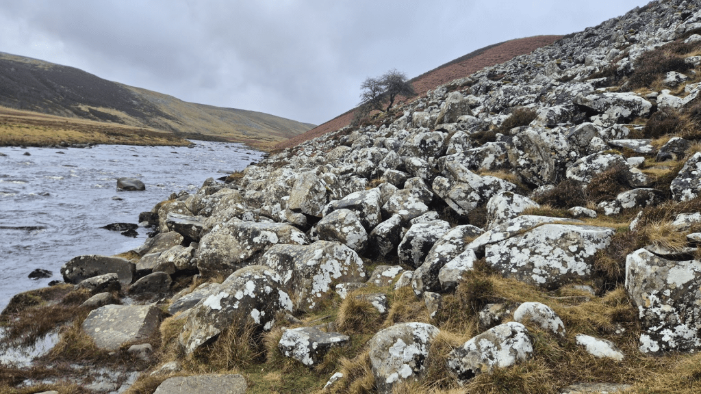
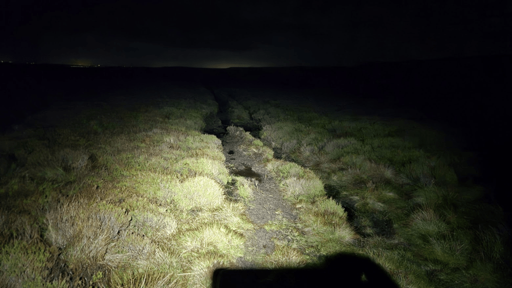
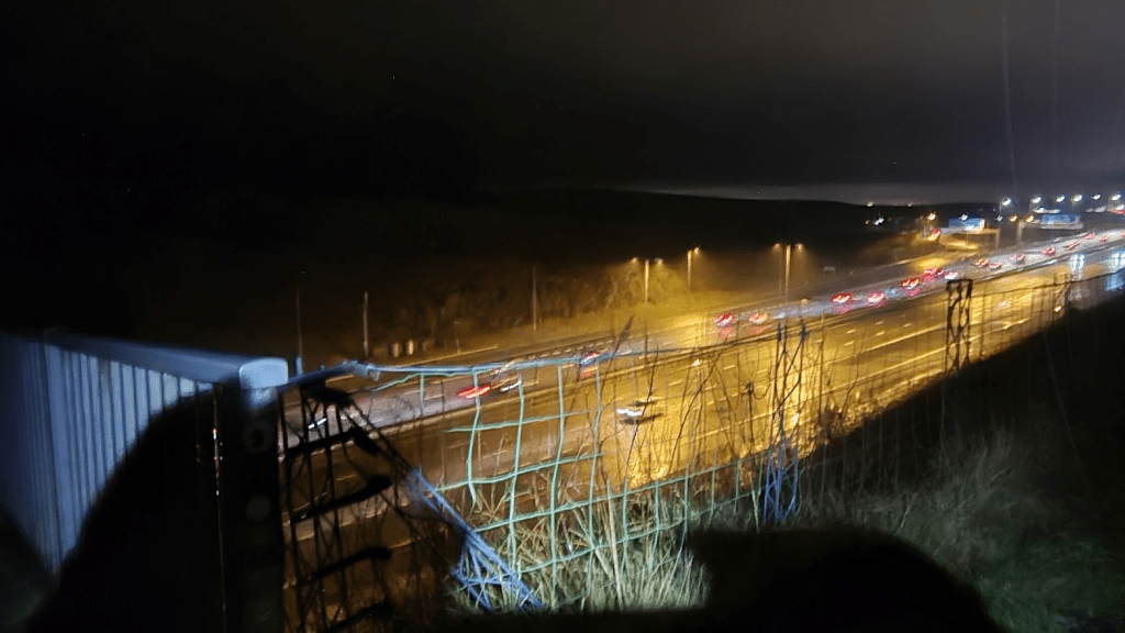
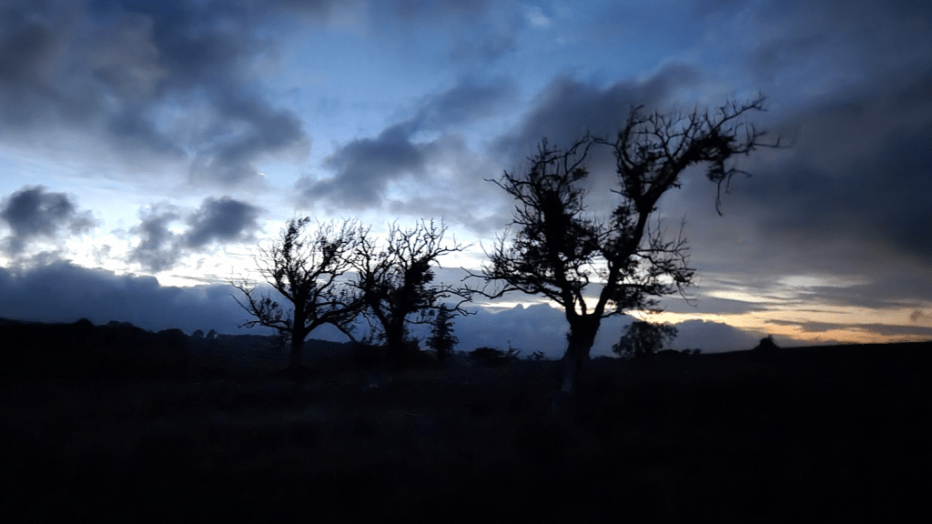
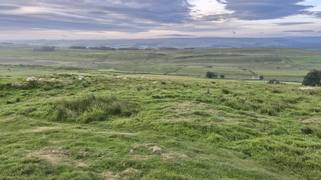
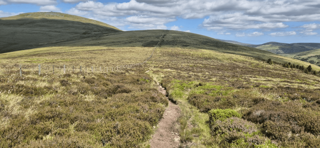
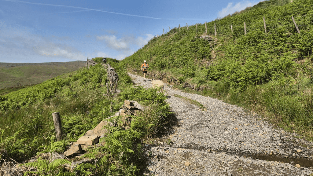
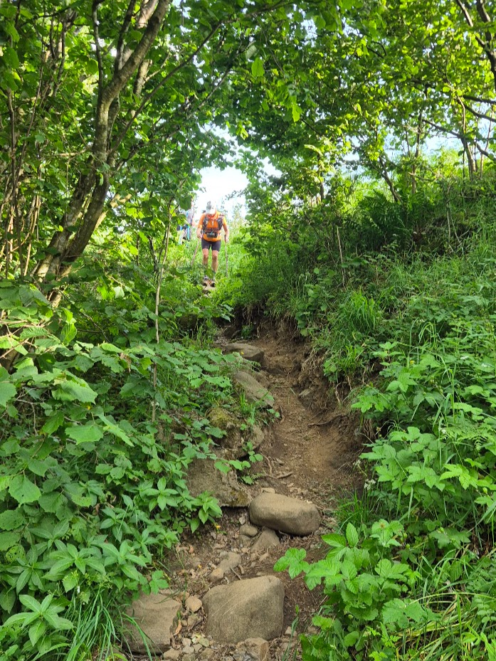
The route mainly consisted of moorland, the odd field and few road crossings until I reached the short slippery climb up to the path which would take me onto the infamous ‘grey road’ through Redesdale Forest. The ‘grey road’ is a very dull almost four mile long section of forestry track. The only good thing about it was that it wasn’t boggy and, as it was by now dark, it was easy to follow and run on. Yes, I did manage a few short jogs along it, if only to relieve the boredom. I was a little concerned as I seemed to be experiencing a level of tunnel vision I hadn’t noticed before. It was dark and misty and, being on a wider path I was probably more aware of my peripheral vision than I had been on the narrow sections. Anyway regardless of whether it was caused by conditions or a sign that I was imminently going to collapse there wasn’t much I could do about it so I ignored it and pushed on.
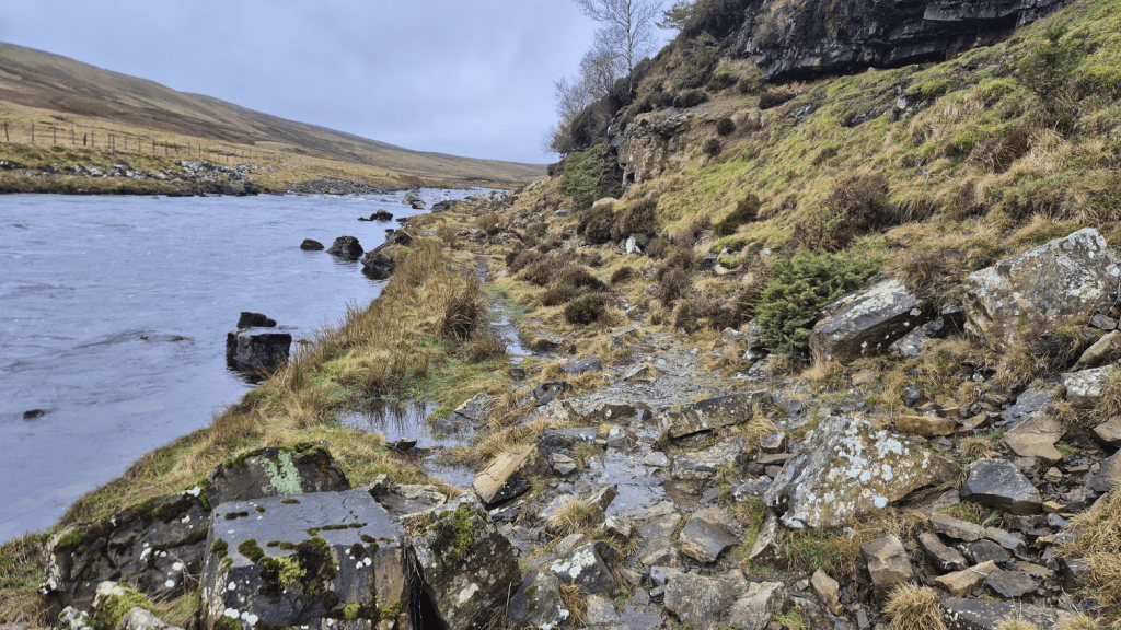
After leaving the Grey Road and turning off alongside the River Rede, I had a small navigational issue, and I’m not sure why. My GPS route wanted me to turn to go alongside the river at a point where there didn’t seem to be a path. It’s where the OS map says the Pennine Way goes, but all other mapping indicates that the route continues along a track and turns off a few hundred metres later. I’ve checked and my Challenger North route followed the ‘down the track further’ route so that explains why I had no issues in June, but my 2024 route was the same as my 2026 one (mainly because it was the 2024 route with updates as necessary). I can only guess that in 2024 I wasn’t paying enough attention to notice the difference.
This was another section that was very different to how it had been in June. In June it was a narrow path with high (wet) vegetation brushing you as you went along. In January it had all been cleared and so was nice and wide but quite slippery underfoot.
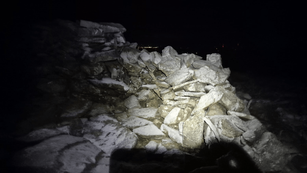
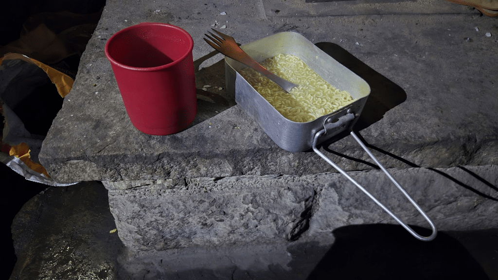
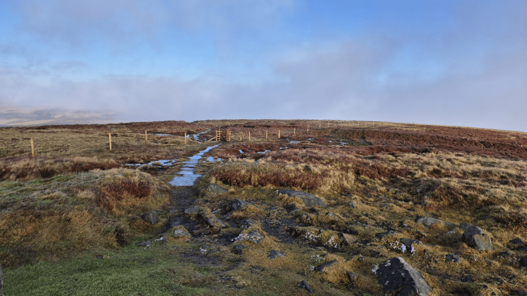
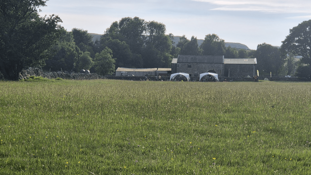
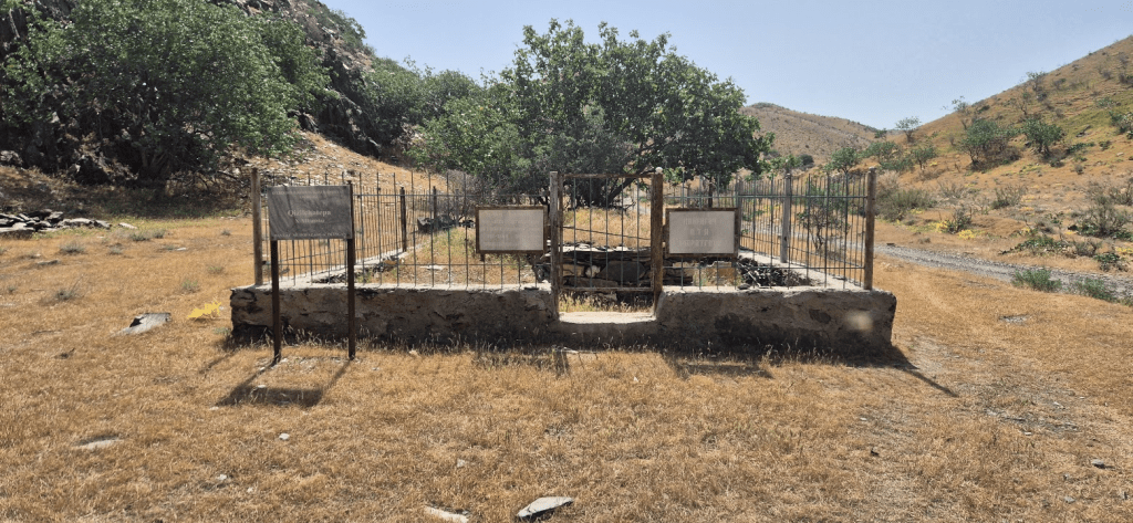
The final monitoring station, Checkpoint 5.5 at Byrness, had moved from the Forest Lodge to the Village Hall. This did reduce the distance by a couple of hundred metres but also meant there was no hot food. I was prepared for this and had a freeze dried meal with me to eat at the checkpoint – I checked the required fill level this time before asking one of the volunteers to put some hot water into it for me.
As had happened before I set off onto Cross Fell, one of the volunteers came to have a chat with me before I set off for the Cheviots. He asked if I was planning on resting at St. Francis’ Church, which is always kindly made available to weary Spiners. I said I wasn’t. He just looked at me. I said ‘you think that’s the wrong answer, don’t you?’ he replied that it was up to me but in his opinion it might be a good idea to have at least a short rest before the Cheviots. I took has advice on board and said I’d have 15 minute rest there.
On my way to the church, and possibly after I left, I now realise I was being interviewed for the daily media update. I talked to the person with the camera for a while but only a few grumpy sounding sentences made it into the final edit – mainly I think because as I said, my three and a half year old self (possibly younger by now) didn’t really realise what was going on.
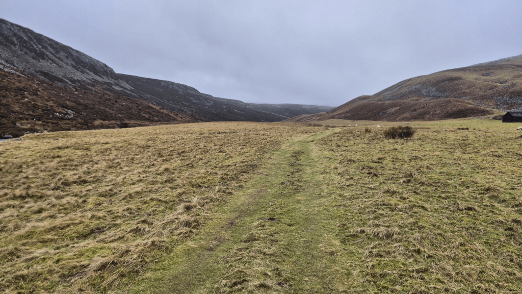
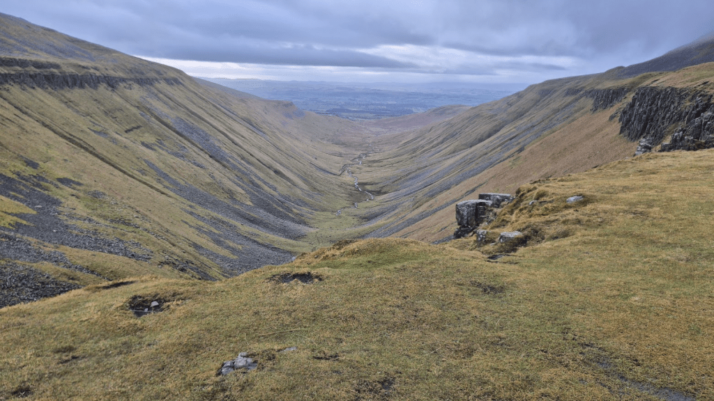
I had my 15 minutes in the church and steeled myself for the final push. From the Church to the finish is almost a marathon, split into three sections – roughly nine miles to Hut 1, nines miles to hut 2 and seven miles to Kirk Yetholm.
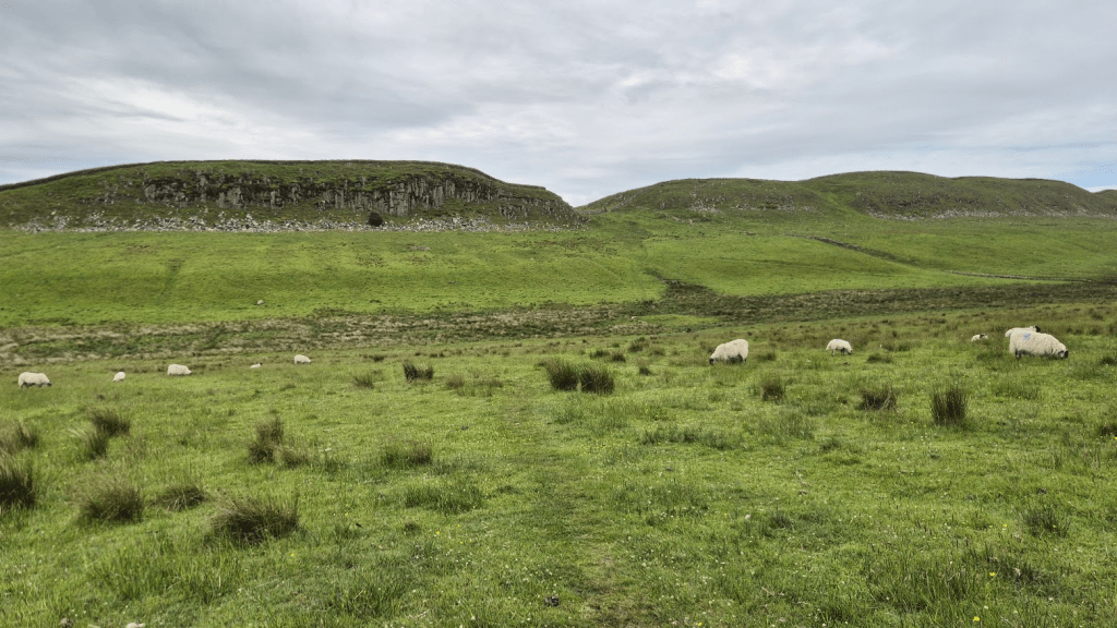
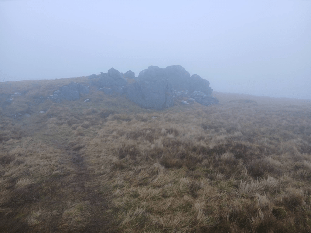
Although the Cheviots are very hilly, there were only a couple of really big climbs left and I was heading for the first of them, Byrness Hill. Byrness Hill is a very straight climb up, through some trees and round some rocks. It was a bit muddy but not too much of an obstacle and, although it is quite steep, by the standard of many of the climbs I’d done by now, it is quite short.
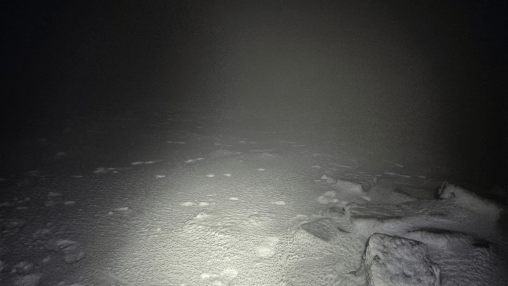
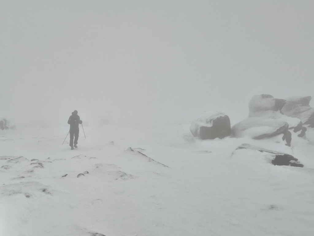
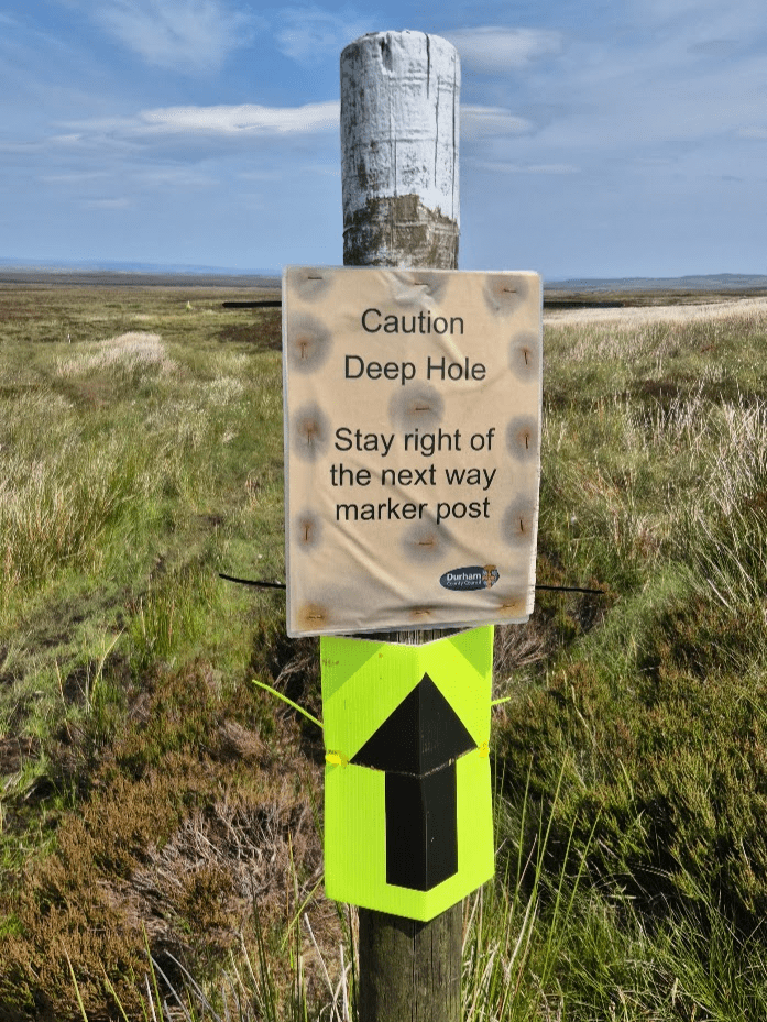
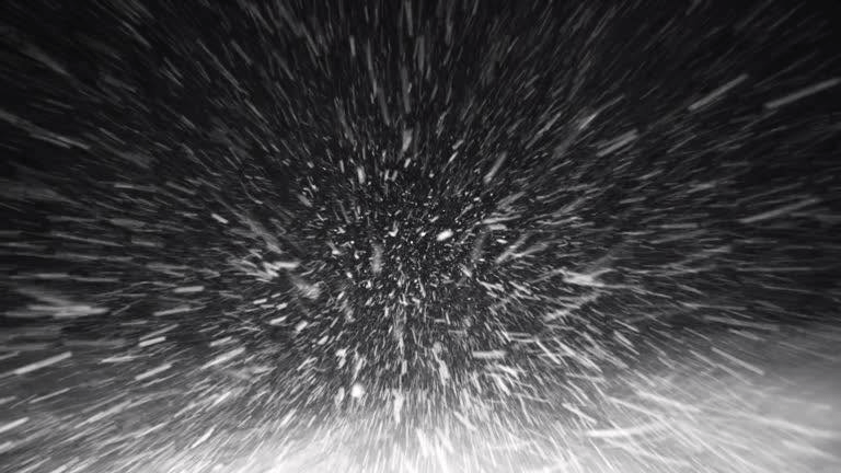
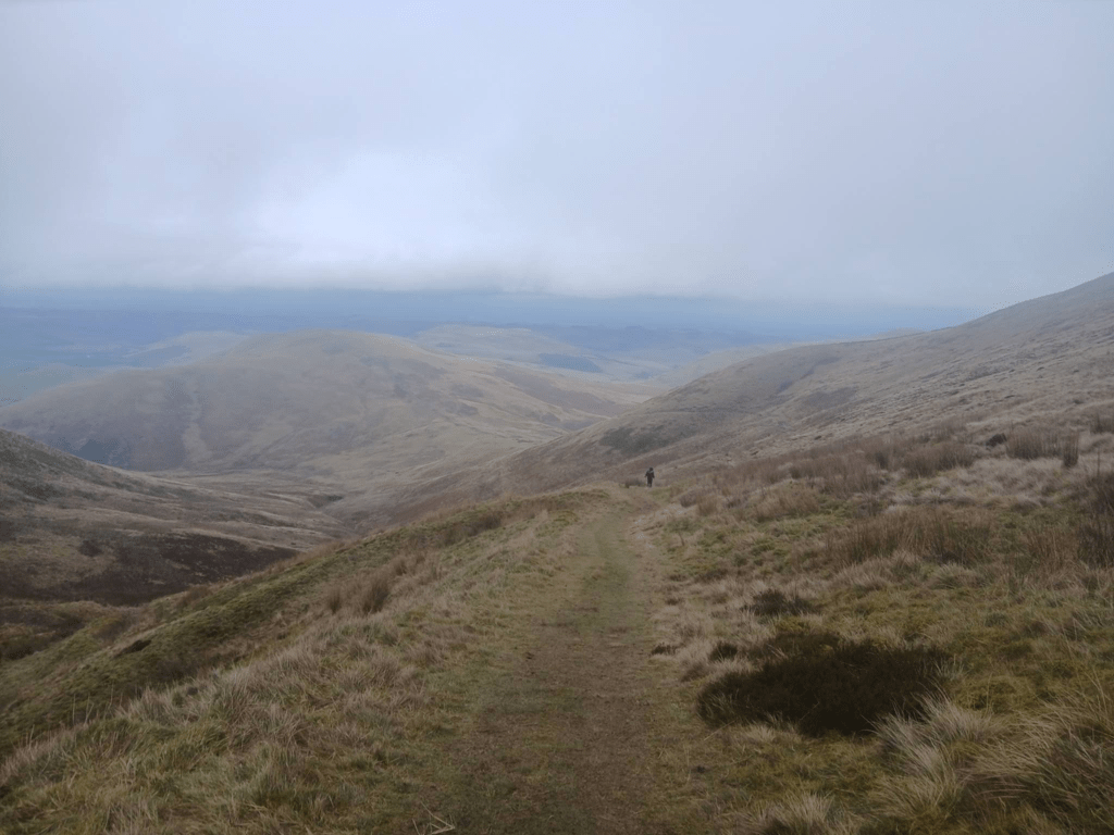
Once I was onto the Cheviots things got tricky. It was very misty and I had limited visibility. I could tell when I was on the path as it felt a lot more solid than when I wandered off it, the problem was it was difficult to see the path far enough ahead to make meaningful progress. Looking at my GPS track, I was struggling to keep on the path all the way to Chew Green. None of the errors were big, if you were dot watching you wouldn’t have even known I was struggling (except possibly from my lack of pace), but it was mentally exhausting to keep having to make small corrections and to have to try and pick up the path again.
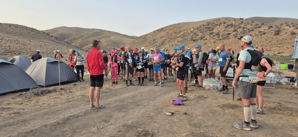
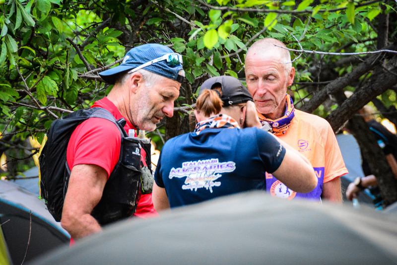
It was around Chew Sike my luck improved. I had actually found a Pennine Way marker and tried to follow it. It took me to a bridge, which crossed Chew Sike, however I was unsure as to whether this was right or not. In my defence, my GPS file cut the corner and didn’t actually cross the bridge, hence my confusion. I retraced my steps and met with a small group, including Kingsley from Hadrian’s Wall that were working together and making much better progress than me. I gratefully tagged on to them. It would be an exaggeration to suggest everything was error free from then on (I think I may possibly have tried to justify my place in the group by leading a couple of times…) but progress was certainly a lot quicker and easier with five of us to find the way.
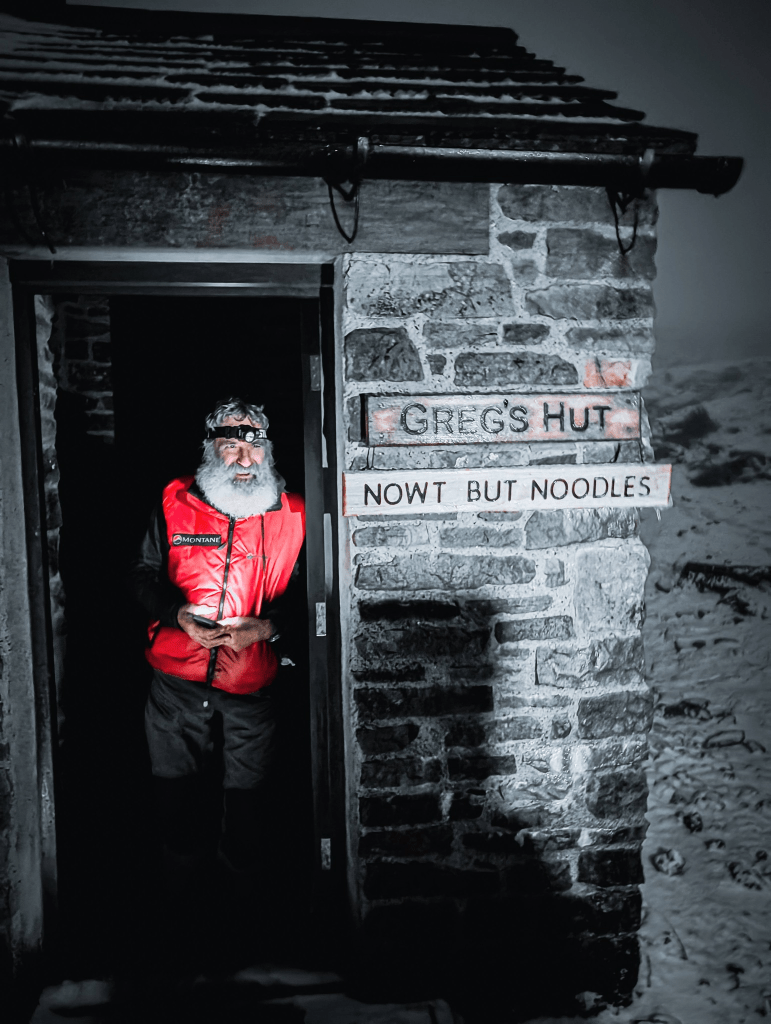
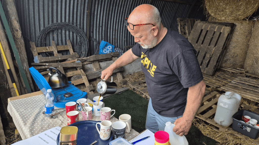
We reached Hut 1. The group was planning on having a rest there, we were allowed to spend up to two hours at each hut. If I had been on my own I might have left sooner but I wasn’t keen on going out on my own and anyway given I have little memory of an hour passing I think I must have also slept. When I wasn’t asleep I was making my own hallucinogenic entertainment. The volunteers at the hut made us hot chocolate with marshmallows. I have no idea whether the large bag of marshmallows I saw was a) real or b) had the cartoon figures on it that I saw. If a) and b) are true then I am absolutely certain that c) the figures became three dimensional and started dancing, was entirely a product of my sleep deprived state.
As I was about to leave Hut 1 I was told my tracker needed resetting. This involved standing outside for a few seconds. I should have gone back in and put my extra layer on as I was now feeling a bit chilly. As it had also started sleeting I really should have put it on but I knew the next section was a climb up Lamb Hill so I thought the exertion would warm me up. Had I not been part of the group this may have been the end of my race. I’m very sorry I don’t recall all of your names, I know one of you was called James but usually J but that’s it. Instead of warming myself up, I started hyperventilating. When The others realised they stopped and crowded around me to keep me warm while I got my breathing back under control. We then pressed on across the Cheviots with me only too aware how close I had come to a DNF. If any of the group are reading this you have my heartfelt thanks and if you ever see me in a bar, say hello and you won’t have to buy any more drinks that evening.
After a while I did warm up, even my hands were warm so I knew my core was good. Despite the best efforts of the others I still kept wandering off the path from time to time. To be fair we were all struggling a bit with navigation but I seemed to be most determined to lose the path. At one point I went through some ice and ended up with a very wet leg. Again I was rescued by one of the group, who extended his pole out to me so I could pull myself back onto the path. I was somewhat concerned about my wet leg as I could feel it becoming cold. As there was little that could be done about it, I kept it to myself and pressed on. My hope was that my tights would still retain warmth whilst wet, once my body heat had warmed the water, and that my waterproof trousers would reduce any wind chill effects. By now my comfort zone had vanished over the horizon and was getting ever further away by the second.
After a while I realised I needed to move faster to keep warm. Had I been experienced and in any way qualified to be where I was, I would have put on my insulated jacket. However I was absolutely certain that if I stopped, got my jacket out, took off my waterproof and put said jacket on, I’d be hypothermic before I got my waterproof back on. My only chance was to keep moving. As a result Kingsley and I started to leave the group behind. I feel very bad about this, given what they had done for me but logically there was still a group (I wouldn’t have left anyone on their own at this point) and if I didn’t push on their previous efforts to keep me going would ultimately be in vain. I kind of knew where I was but now, on the slabbed section between Windy Gyle and the turn off the path to the Cheviot towards Auchope Cairn and ultimately Hut 2. My hope was that once we got to the turn the wind (which was considerable) would be behind us and we would start descending into more sheltered areas. I also knew the last section of the climb was tough and less slabbed but so long as I had the energy to make the climb staying warm during it wouldn’t be a problem. I also knew I should have had my goggles on in the wind but they had got wet in my pack and trying to clean the lenses with a dirty glove didn’t help. Everything was kind of falling apart, my only hope was to just keep moving. Apart from the other runners, the only that had kept me safe on the Cheviots were my microspikes. It was very icy, even more so on the climb but my feet had hardly slipped.
Dawn was breaking as we reached the turn point. As I thought (hoped) the wind was now behind us, which made things a lot better. I had forgotten how far it was along some slabs before the path drops but eventually it did and things improved. I wasn’t even bothered by this point that we had to go slightly up again to get to Hut 2.
It didn’t seem long after we reached Hut 2 that the rest of the group arrived. I was able to give Kingsley some slight completely inadequate recompense for his help in the shape of some of the spare water I was carrying. The hut didn’t have enough to give to runners and as my plan was to empty it out anyway as I didn’t think I’d need it for the seven miles to Kirk Yetholm, it was good to finally feel a bit useful.
I was last to leave the hut. This was kind of my plan as I knew I was going to be slow down to Kirk Yetholm. My feet hurt a lot, especially downhill. I’m not blaming the Inov8s as it was probably more to do with the distance than the shoes, but my feet didn’t hurt as much when I left Bellingham and I had also ended up with very sore feet after the Challenger North in Inov8s. Anyway I knew I’d be struggling to run all the way to Kirk Yetholm as I had in 2024.
As appears traditional now, I tried to take the wrong path from Hut 2 but realised much sooner than I had on Challenger north and cut back to the right one. I’d put on my insulated jacket at Hut 2 and taken my spikes off not long after leaving. There were a fair few icy patches on the way down to the base of the Schil but nothing I couldn’t skirt round. By now I was getting quite warm and I was about to start climbing so I stopped to take a couple of layers off.
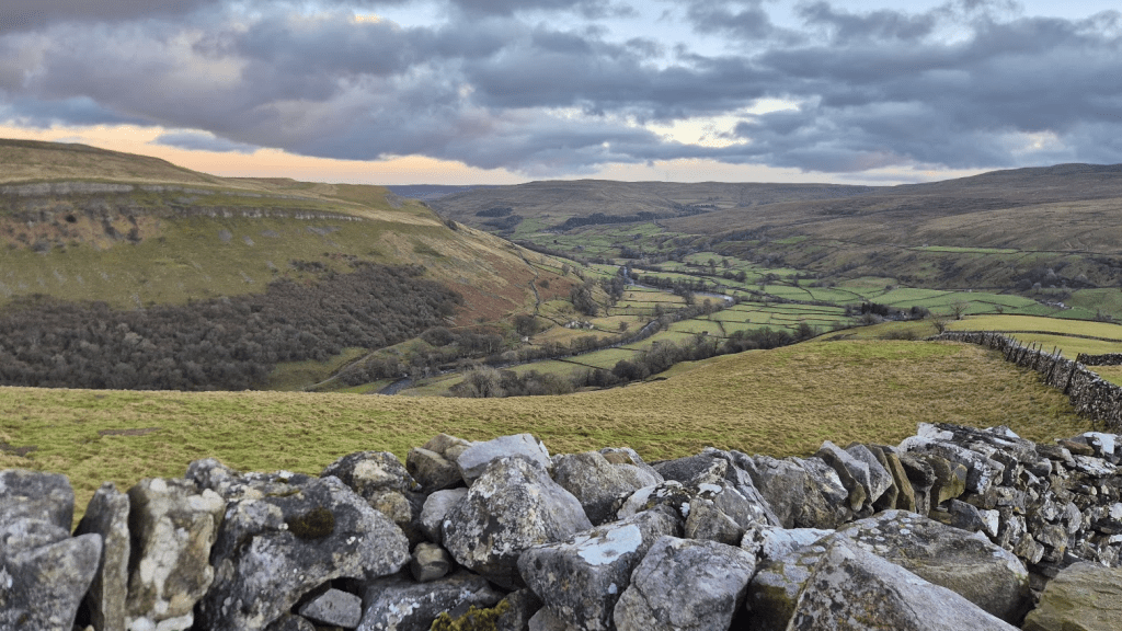
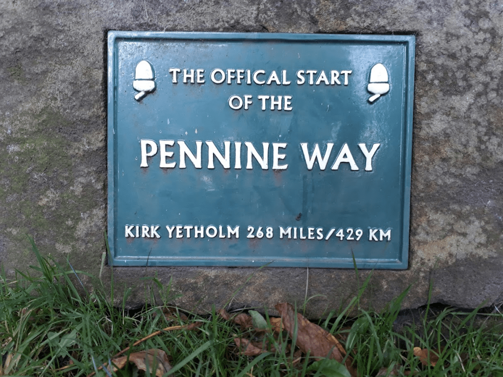
The Schil isn’t that big, isn’t that technical but it’s still a bit of an effort 263ish miles into the Pennine Way.
The Pennine Way flirts with the border between England and Scotland from around Ogre Hill to the Bottom of the Schil, where it definitively moves into Scotland. I don’t know if the stile does sit on the Scottish border but it’s the point at which I like to declare ‘I’m in Scotland!’

There is a little bit of uphill to the point at which the Pennine Way splits into the high and low path but as we take the low path from there it’s all downhill – almost. This wasn’t as good for me as I would have liked it to have been as my knees and feet really didn’t like running downhill and had been putting in formal complaint for a while.
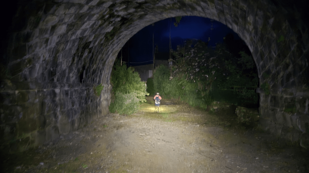
Eventually I reached the road at the giant Tunnock’s Wafer container. It was still two miles to the finish but at least I was very definitely on the last part of my journey. The Pennine Way’s final hilarious little treat is a small hill with its peak about half a mile from the finish.
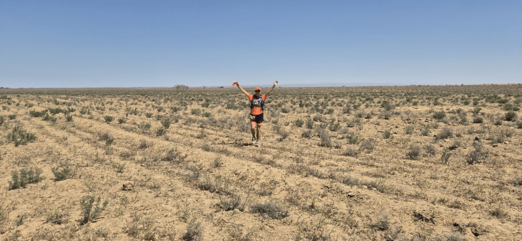
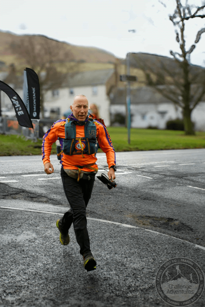
I paused just after the top of the hill and assessed the situation. I was filthy. I looked like something that had been dragged out of a bog – mainly because I had been, several times in the last 6 days. It was around lunchtime, it wasn’t raining, it wasn’t too cold so I decided to strip off my waterproofs and remaining warm layer and make my triumphant run into Kirk Yetholm looking a bit like a human being in my Little Baddow Ridge Runner colours.
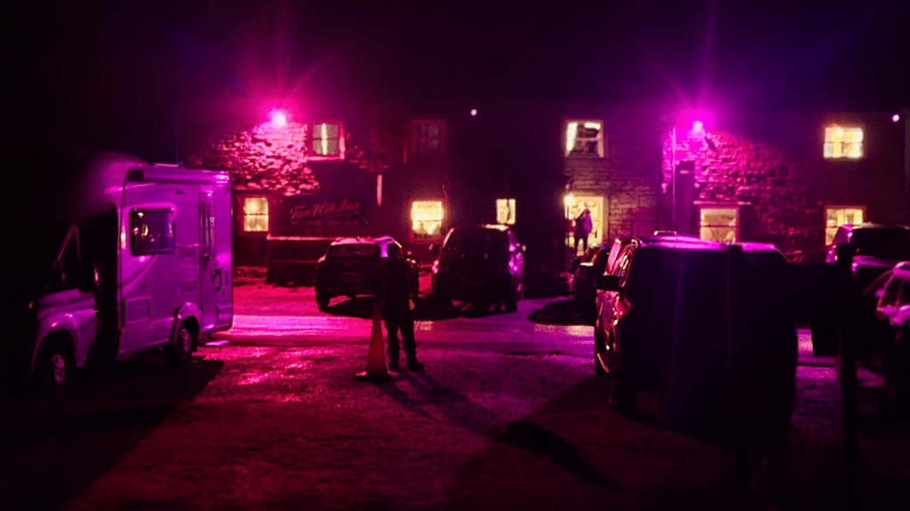
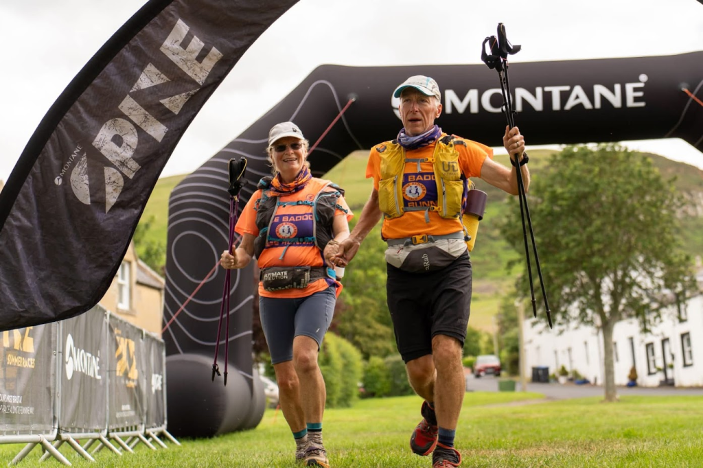
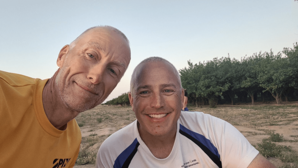
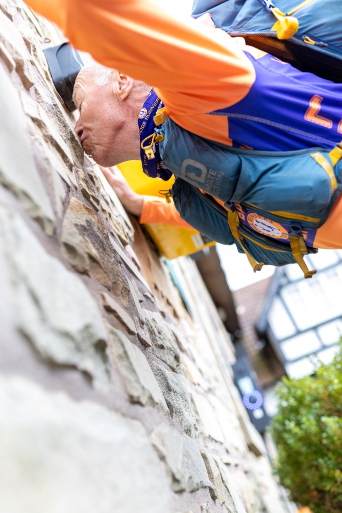
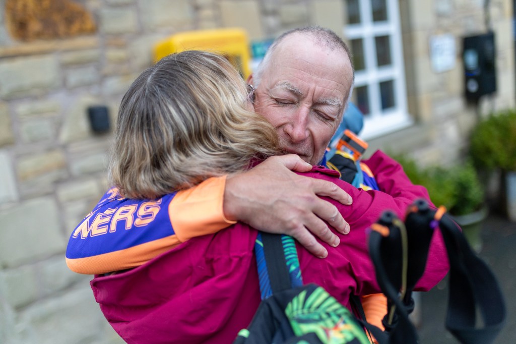
I ran down the home straight, through the arch and over to kiss the wall of the Border Hotel, as is traditional. Very soon after I kissed Sharon, who had been cheering me in. She was nicer than the wall.
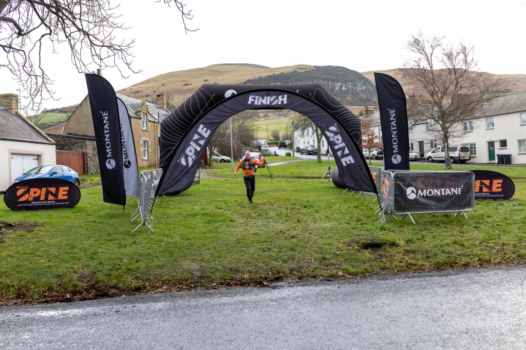
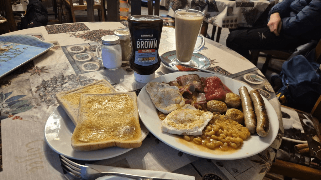
Lindley Chambers was at the finish and bought me a beer once I’d had some food and soaked my feet at the finish. This year’s finishers top is awesome, it’s a proper Montane Dart top with the Spine designs printed on it. Given I only do the race for the t-shirt it was nice to get a really good one this time.
I’ve been titling my blogs ‘Britain’s Most Brutal?’ as the Spine Race claims to be, but is it? In 2024 it was very cold but otherwise fairly benign for me. The cold meant the bogs were frozen and I got over the Cheviots before the bad weather hit. 2026 was a very different proposition, whether or not it is ‘Britain’s Most Brutal’ is fairly irrelevant from my perspective as that was as brutal as I could possibly have coped with. It could have been colder, wetter, even more boggy but I would have been a DNF. Only 57.5% of those that started finished, it took me over 12 hours longer than it did in 2024, it took the winner 23 hours longer. Despite all that I finished 54th, one place higher than 2024.
From a mental perspective I’ve never been taken on more emotional journey that the 2026 Winter Spine race, the elation at getting over Cross Fell to the despair sitting on a stile wondering how to carry on. I had the absolute fear of realising I was within a whisker of hypothermia, countered by my absolute respect for those that kept me going across the Cheviots. People ask me why I do these things. I told you, for the t-shirt. No, not really, there is probably no one answer. The physical challenge is a part of it and so strangely is the emotional rollercoaster. However the main part is the absolute connection I get to feel with people. I’ve already mentioned those that helped me over the Cheviots and then there is of course the volunteers, all of whom are unique but all of whom are absolutely committed to doing whatever I need them to in order to get me to the finish. The various Spine Angels that just want help people achieve their dream of getting to Kirk Yetholm. Everyone that sent me a message, watched my dot or has read this blog. And of course my wife Sharon, who drops me in Derbyshire, has an anxious week watching my dot before driving all the way to Kirk Yetholm in the hope that what she picks up won’t be too smelly or broken, but picking me up anyway.
The other reason I did the 2026 Winter Spine is because I’m also doing the 2026 Summer Spine. I’m not sure the ‘Spine Double’ is particularly a thing but I’m doing it anyway so there will be more dot watching in June when, once again, The Only Way Is Pennine!